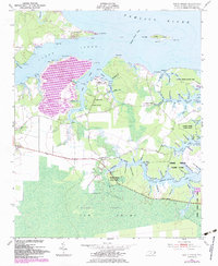
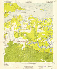
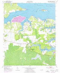
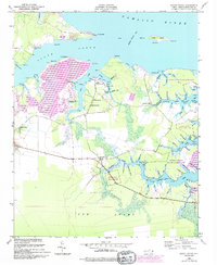
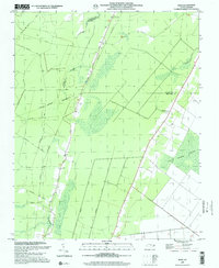
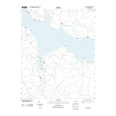
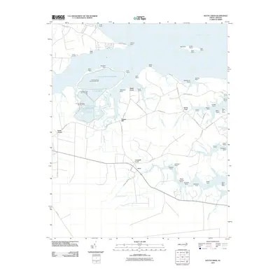
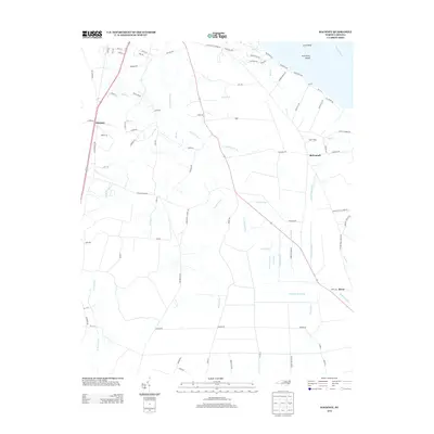
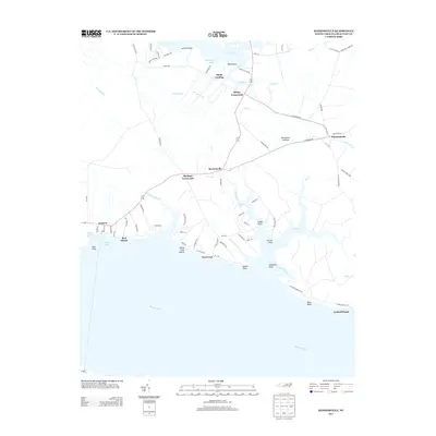
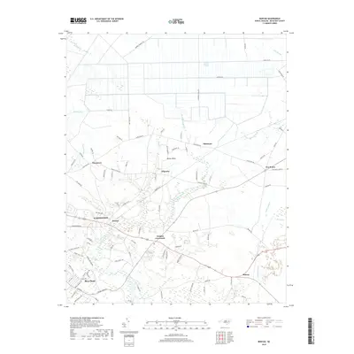
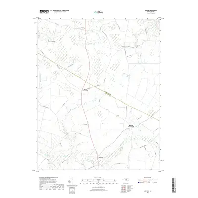
1950 Map of South Creek
USGS Topo · Published 1983About this map
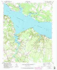
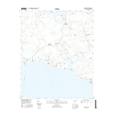
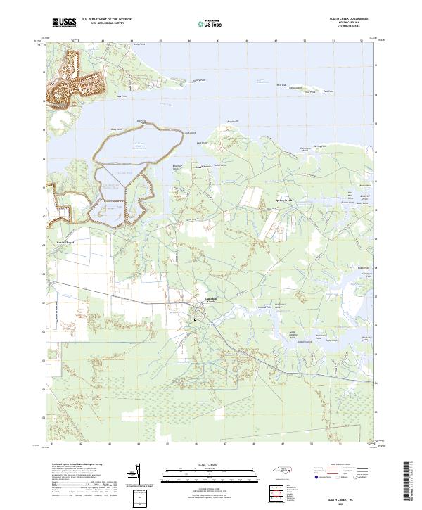
The Pamlico River and South Creek define this Beaufort County coastal landscape, where the tides and marshy guts shaped early North Carolina settlements. The map highlights the village of South Creek at the confluence of Bond Creek and Muddy Creek, noting a Marine Railway that underscores the area's maritime reliance. Moving south and west, the terrain transitions into the dense Gum Swamp and the expansive Goose Creek Game Land, punctuated by rural landmarks such as St Kets Church and Shady Grove Ch.
Find a feature on this map
93 named features on this map. Tap any name to fly to it.
Don’t see what you’re looking for? This feature index may not catch every label — zoom into the map to look around manually.
Map Details
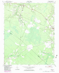
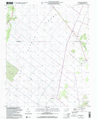
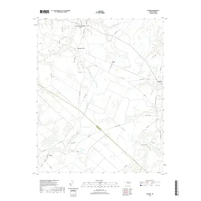
Editions of this 1950 South Creek Map
4 editions found
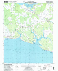
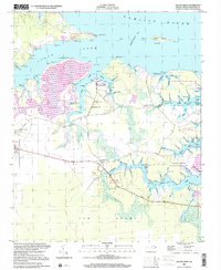
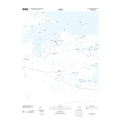
Historical Maps of Campbell Creek Through Time
58 maps found
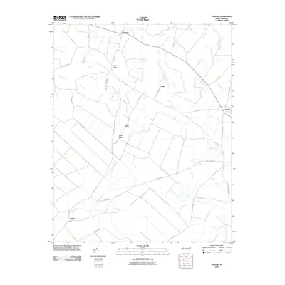
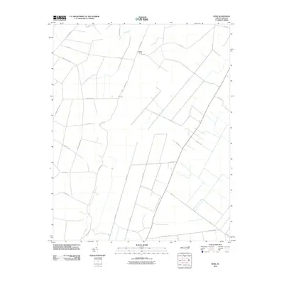
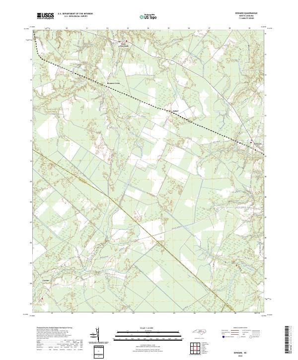
1950 Edward
Beaufort County, NC
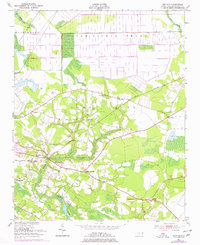
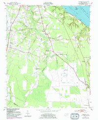
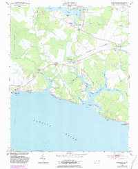
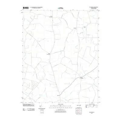
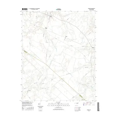
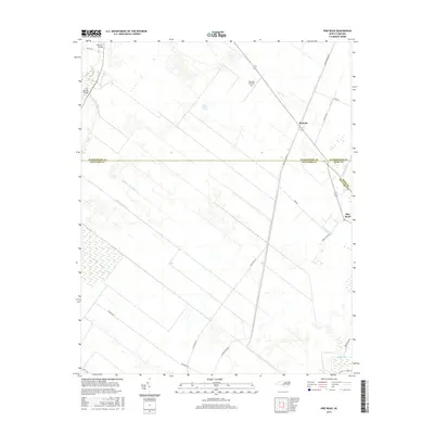
1950 South Creek
Beaufort County, NC
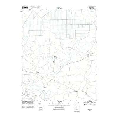
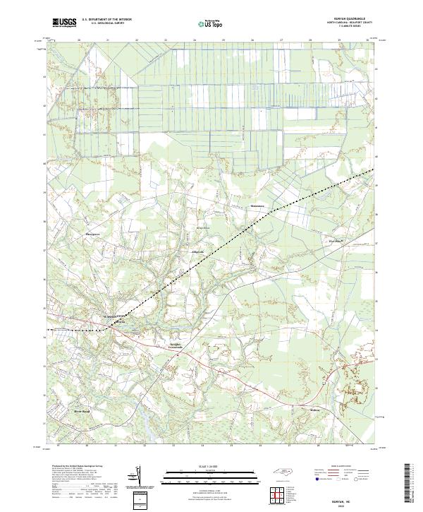
1951 Bunyan
Beaufort County, NC
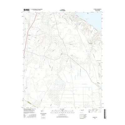
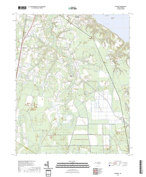
1951 Hackney
Beaufort County, NC
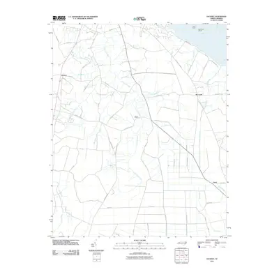
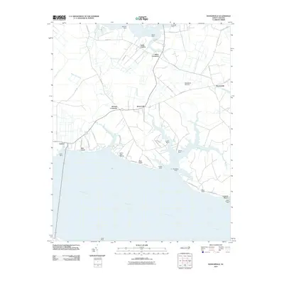
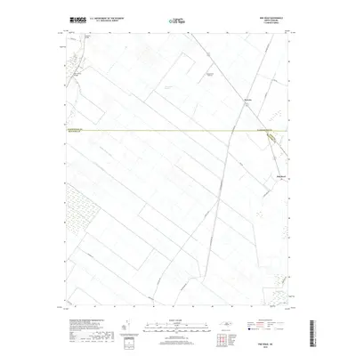
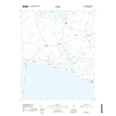
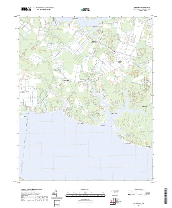
1951 Ransomville
Beaufort County, NC
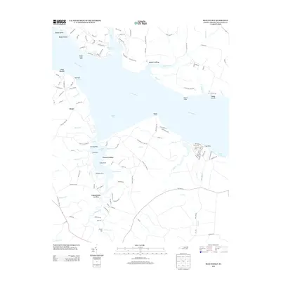
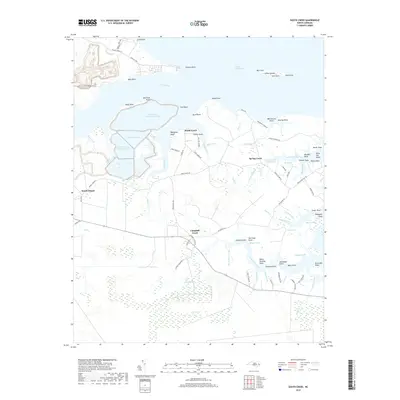
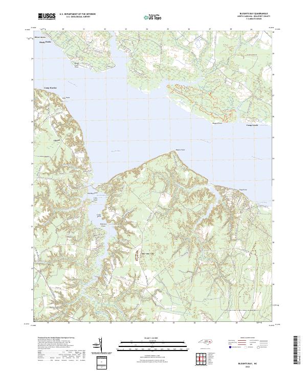
1953 Blounts Bay
Beaufort County, NC
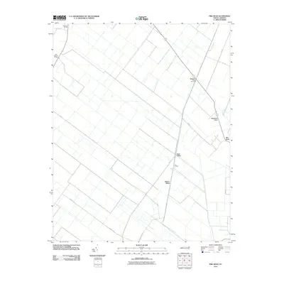
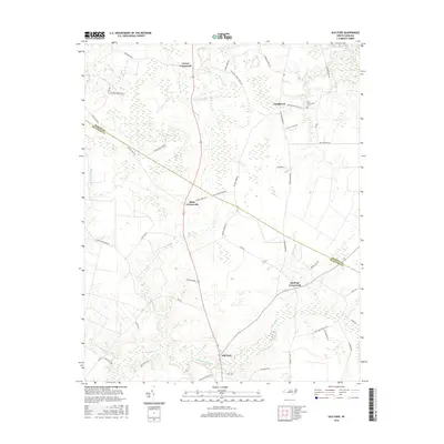
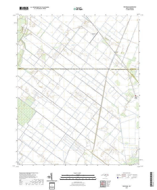
1954 Pike Road
Beaufort County, NC
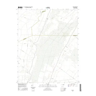
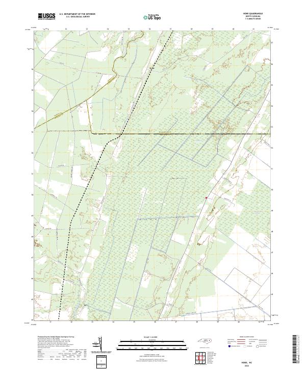
1978 Hoke
Beaufort County, NC
1997 Hackney
Beaufort County, NC
1997 Hoke
Beaufort County, NC
1997 Pike Road
Beaufort County, NC
1997 Ransomville
Beaufort County, NC
2000 South Creek
Beaufort County, NC
2010 Blounts Bay
Beaufort County, NC
2010 Bunyan
Beaufort County, NC
2010 Edward
Beaufort County, NC
2010 Hackney
Beaufort County, NC
2010 Hoke
Beaufort County, NC
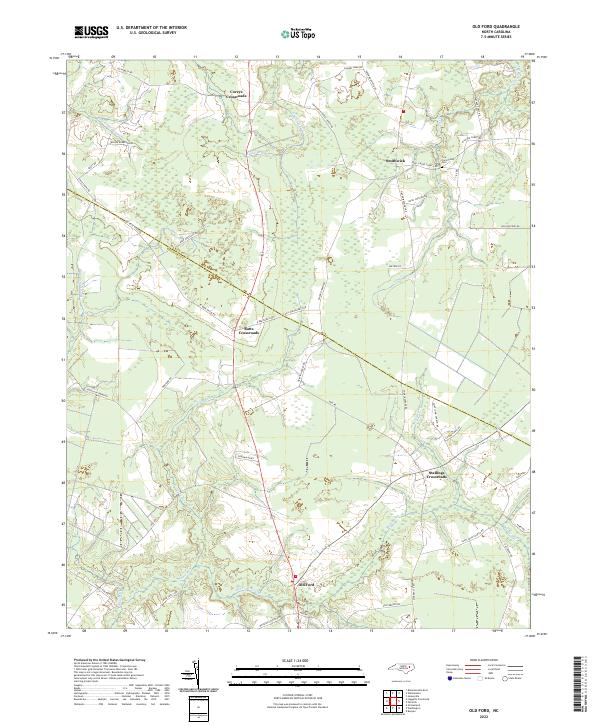
2010 Old Ford
Beaufort County, NC
2010 Pike Road
Beaufort County, NC
2010 Ransomville
Beaufort County, NC
2010 South Creek
Beaufort County, NC
2013 Blounts Bay
Beaufort County, NC
2013 Bunyan
Beaufort County, NC
2013 Edward
Beaufort County, NC
2013 Hackney
Beaufort County, NC
2013 Hoke
Beaufort County, NC
2013 Old Ford
Beaufort County, NC
2013 Pike Road
Beaufort County, NC
2013 Ransomville
Beaufort County, NC
2013 South Creek
Beaufort County, NC
2016 Blounts Bay
Beaufort County, NC
2016 Bunyan
Beaufort County, NC
2016 Edward
Beaufort County, NC
2016 Hackney
Beaufort County, NC
2016 Hoke
Beaufort County, NC
2016 Old Ford
Beaufort County, NC
2016 Pike Road
Beaufort County, NC
2016 Ransomville
Beaufort County, NC
2016 South Creek
Beaufort County, NC
2019 Blounts Bay
Beaufort County, NC
2019 Bunyan
Beaufort County, NC
2019 Edward
Beaufort County, NC
2019 Hackney
Beaufort County, NC
2019 Hoke
Beaufort County, NC
2019 Old Ford
Beaufort County, NC
2019 Pike Road
Beaufort County, NC
2019 Ransomville
Beaufort County, NC
2019 South Creek
Beaufort County, NC
2022 Blounts Bay
Beaufort County, NC
2022 Bunyan
Beaufort County, NC
2022 Edward
Beaufort County, NC
2022 Hackney
Beaufort County, NC
2022 Hoke
Beaufort County, NC
2022 Old Ford
Beaufort County, NC
2022 Pike Road
Beaufort County, NC
2022 Ransomville
Beaufort County, NC
2022 South Creek
Beaufort County, NC