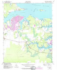
1950 Map of South Creek
USGS Topo · Published 1993About this map
South Creek flows through a complex network of marshes and tributaries along the southern shore of the Pamlico River at the midpoint of the twentieth century. This maritime landscape is defined by its myriad "guts" and prongs, such as Alligator Gut, Tetterton Gut, and East Prong, reflecting a world where water transport and fishing were central to local life. Small coastal communities and rural nodes like Mayo and South Creek are documented alongside historic congregations at St Kets Church, Shady Grove Ch, and Reads Chapel. The presence of a Marine Railway near South Creek suggests a local economy tied to boat maintenance and river commerce. Inland, the vast Gum Swamp dominates the southern reaches, while much of the eastern terrain is preserved within the Goose Creek State Game Land.
Find a feature on this map
93 named features on this map. Tap any name to fly to it.
Don’t see what you’re looking for? This feature index may not catch every label — zoom into the map to look around manually.
Map Details
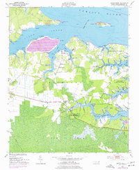
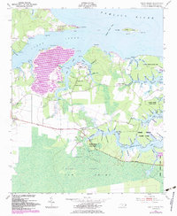
Editions of this 1950 South Creek Map
4 editions found
Other maps of this area

1950 · Vandemere
USGS Topo · 1:24,000

1950 · Lowland
USGS Topo · 1:24,000

1950 · South Creek
USGS Topo · 1:24,000

1950 · Jones Bay
USGS Topo · 1:24,000

1950 · Aurora
USGS Topo · 1:24,000

1951 · Bath
USGS Topo · 1:24,000

1951 · Ransomville
USGS Topo · 1:24,000

1951 · Pamlico Beach
USGS Topo · 1:24,000

1953 · Rocky Mount
USGS Topo · 1:250,000

1954 · Rocky Mount
USGS Topo · 1:250,000