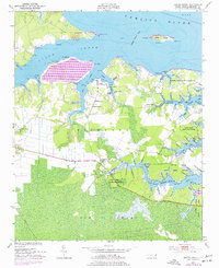
1950 Map of South Creek
USGS Topo · Published 1977About this map
The southern shore of the Pamlico River defines this coastal landscape, where the waters of South Creek and Bond Creek carve deep into the North Carolina mainland. This mid-century survey reveals a maritime economy transitioning into the modern era, as evidenced by the Marine Railway and numerous landings like Alliance Ldg and Wood Landing Pt. Settlement is clustered around small community hubs, with several spiritual anchors including St Kets Church, Shady Grove Ch, and Reads Chapel serving the local families.
Find a feature on this map
97 named features on this map. Tap any name to fly to it.
Don’t see what you’re looking for? This feature index may not catch every label — zoom into the map to look around manually.
Map Details
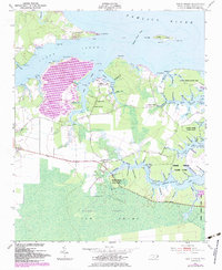
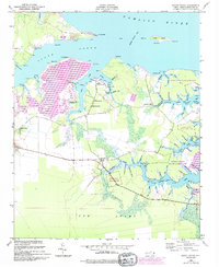
Editions of this 1950 South Creek Map
4 editions found
Other maps of this area

1950 · Vandemere
USGS Topo · 1:24,000

1950 · Lowland
USGS Topo · 1:24,000

1950 · South Creek
USGS Topo · 1:24,000

1950 · Jones Bay
USGS Topo · 1:24,000

1950 · Aurora
USGS Topo · 1:24,000

1951 · Bath
USGS Topo · 1:24,000

1951 · Ransomville
USGS Topo · 1:24,000

1951 · Pamlico Beach
USGS Topo · 1:24,000

1953 · Rocky Mount
USGS Topo · 1:250,000

1954 · Rocky Mount
USGS Topo · 1:250,000