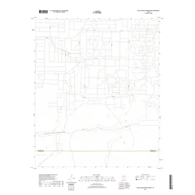
2019 Map of South Fork Sulphur Draw
USGS Topo · Published 2019About this map
Sulphur Draw and its southern branch, South Fork Sulphur Draw, dominate the topography of this High Plains landscape near the southern edge of Cochran County. The terrain is defined by the subtle drainage patterns of these ephemeral watercourses, which are flanked by an orderly grid of rural roads and section lines. This network includes major thoroughfares like FM 1585 in the north and FM 301 further south, connecting the isolated agricultural tracts and ranchlands.
Find a feature on this map
12 named features on this map. Tap any name to fly to it.
Don’t see what you’re looking for? This feature index may not catch every label — zoom into the map to look around manually.
Map Details
Editions of this 2019 South Fork Sulphur Draw Map
This is the sole edition of this map. No revisions or reprints were ever made.
Other maps of this area

1954 · Brownfield
USGS Topo · 1:250,000

1958 · Brownfield
USGS Topo · 1:250,000

1962 · Brownfield
USGS Topo · 1:250,000

1965 · Plains 1 NE
USGS Topo · 1:24,000

1965 · Whiteface
USGS Topo · 1:24,000

1969 · Plains 1 SE
USGS Topo · 1:24,000

1969 · Lehman
USGS Topo · 1:24,000

1970 · Plains 1 SW
USGS Topo · 1:24,000

1970 · Whiteface SW
USGS Topo · 1:24,000

1970 · Plains 1 NW
USGS Topo · 1:24,000