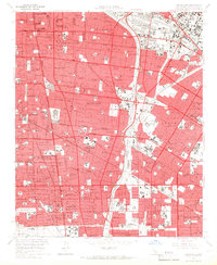
1964 Map of South Gate
USGS Topo · Published 1966About this map
South Gate and the industrial corridors of southeast Los Angeles County are captured here in the mid-1960s, a period of dense residential infill and established manufacturing. The landscape is defined by the Los Angeles River and Rio Hondo, which channel the region's drainage through an engineered grid of sprawling suburbs. Heavy rail infrastructure, including the Southern Pacific and Pacific Electric lines, weaves through communities like Lynwood, Cudahy, and Bell Gardens, illustrating the era's reliance on both rail and the burgeoning freeway system, notably the Santa Ana Freeway. Local history is anchored by institutional landmarks such as the Angeles Abbey Mausoleum and the sprawling grounds of Rancho Los Amigos Hospital. The map reveals the fine-grained texture of mid-century life, from numerous parochial schools like St Helen Sch to the busy Compton Airport near the foot of the Dominguez Hills.
Find a feature on this map
113 named features on this map. Tap any name to fly to it.
Don’t see what you’re looking for? This feature index may not catch every label — zoom into the map to look around manually.
Map Details
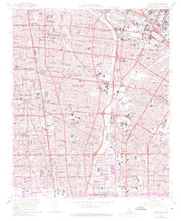
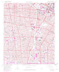
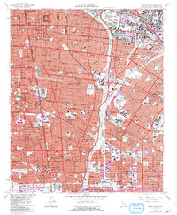
Editions of this 1964 South Gate Map
4 editions found
Other maps of this area

1894 · Los Angeles
USGS Topo · 1:62,500

1896 · Pasadena
USGS Topo · 1:62,500

1896 · Redondo
USGS Topo · 1:62,500

1896 · Santa Monica
USGS Topo · 1:62,500

1896 · Downey
USGS Topo · 1:62,500

1898 · Santa Monica
USGS Topo · 1:62,500

1899 · Downey
USGS Topo · 1:62,500

1900 · Pasadena
USGS Topo · 1:62,500

1900 · Los Angeles
USGS Topo · 1:62,500

1901 · Southern California Sheet No. 1
USGS Topo · 1:250,000