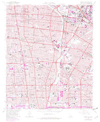
1964 Map of South Gate
USGS Topo · Published 1982About this map
The industrial and residential heart of the Gateway Cities comes into sharp focus during a period of intense post-war expansion. This survey of South Gate and its neighbors reveals a landscape defined by the convergence of major transit arteries and the Los Angeles River. The map documents the dense urban grid extending from Huntington Park and Lynwood through Compton, illustrating the rapid growth of these communities. Purple revisions from the early 1980s highlight the further densification of suburbs like Cudahy and Bell Gardens.
Find a feature on this map
75 named features on this map. Tap any name to fly to it.
Don’t see what you’re looking for? This feature index may not catch every label — zoom into the map to look around manually.
Map Details
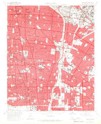
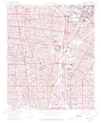
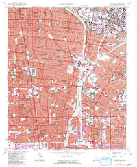
Editions of this 1964 South Gate Map
4 editions found
Other maps of this area

1894 · Los Angeles
USGS Topo · 1:62,500

1896 · Pasadena
USGS Topo · 1:62,500

1896 · Redondo
USGS Topo · 1:62,500

1896 · Santa Monica
USGS Topo · 1:62,500

1896 · Downey
USGS Topo · 1:62,500

1898 · Santa Monica
USGS Topo · 1:62,500

1899 · Downey
USGS Topo · 1:62,500

1900 · Pasadena
USGS Topo · 1:62,500

1900 · Los Angeles
USGS Topo · 1:62,500

1901 · Southern California Sheet No. 1
USGS Topo · 1:250,000