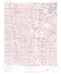
1964 Map of South Gate
USGS Topo · Published 1975About this map
Industrial expansion and suburban densification define this mid-century landscape between Los Angeles River and Rio Hondo. The corridor is dominated by a dense grid of residential neighborhoods and manufacturing centers like South Gate, Lynwood, and Compton. Military and institutional presence is prominent, anchored by the Cheli Air Force Station in the north and the sprawling Rancho Los Amigos Hospital complex near Hollydale.
Find a feature on this map
113 named features on this map. Tap any name to fly to it.
Don’t see what you’re looking for? This feature index may not catch every label — zoom into the map to look around manually.
Map Details
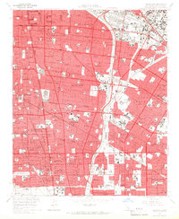
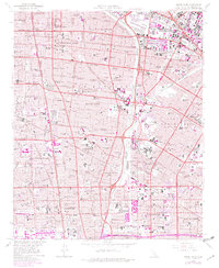
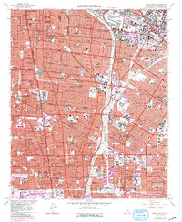
Editions of this 1964 South Gate Map
4 editions found
Other maps of this area

1894 · Los Angeles
USGS Topo · 1:62,500

1896 · Pasadena
USGS Topo · 1:62,500

1896 · Redondo
USGS Topo · 1:62,500

1896 · Santa Monica
USGS Topo · 1:62,500

1896 · Downey
USGS Topo · 1:62,500

1898 · Santa Monica
USGS Topo · 1:62,500

1899 · Downey
USGS Topo · 1:62,500

1900 · Pasadena
USGS Topo · 1:62,500

1900 · Los Angeles
USGS Topo · 1:62,500

1901 · Southern California Sheet No. 1
USGS Topo · 1:250,000