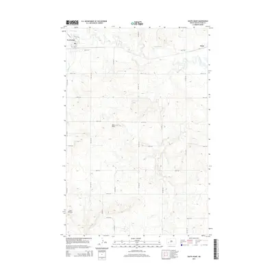
2014 Map of South Heart
USGS Topo · Published 2014About this map
South Heart and the nearby settlement of Eland anchor this Stark County landscape, where the Heart River meanders eastward across the northern tier. The geography is defined by a series of significant tributaries, including North Cr, S Br Heart River, and Ash Cr, which carve through the high plains. In the southern half of the quadrangle, the terrain becomes increasingly complex as it approaches the Little Badlands, a region of intricate contouring and distinctive landforms like White Butte. This area reflects the transition from the river valley's agricultural potential to the more broken, eroded surfaces of western North Dakota. The map captures the rigid grid of county roads, such as 121st Ave SW and 45th St SW, which imposed order on the varied topography during the early 21st century.
Find a feature on this map
23 named features on this map. Tap any name to fly to it.
Don’t see what you’re looking for? This feature index may not catch every label — zoom into the map to look around manually.
Map Details
Editions of this 2014 South Heart Map
This is the sole edition of this map. No revisions or reprints were ever made.
Other maps of this area

1953 · Dickinson
USGS Topo · 1:250,000

1957 · Dickinson
USGS Topo · 1:250,000

1959 · Dickinson North
USGS Topo · 1:24,000

1959 · Dickinson South
USGS Topo · 1:24,000

1961 · Daglum
USGS Topo · 1:62,500

1962 · Belfield NE
USGS Topo · 1:24,000

1962 · Belfield SE
USGS Topo · 1:24,000

1973 · New Hradec South
USGS Topo · 1:24,000

1973 · New England NW
USGS Topo · 1:24,000

1973 · Schefield
USGS Topo · 1:24,000