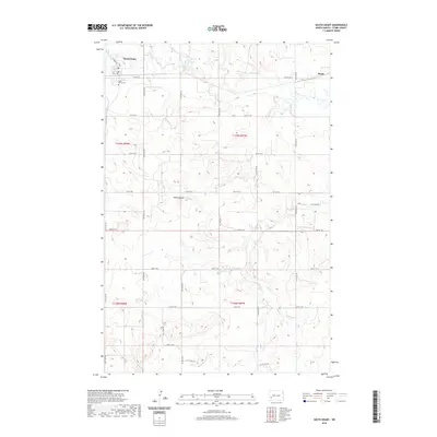
2020 Map of South Heart
USGS Topo · Published 2020About this map
South Heart stands at the northern edge of this Stark County landscape, where the BNSF Railway and W Main St corridor facilitate the region's agricultural and transit economy. The settlement is anchored by local landmarks such as Saint Mary's Cem, while the rail line extends eastward toward the siding at Eland. The terrain is defined by the winding course of the Heart River and its various tributaries, including N Cr and Ash Cr, which carve into the rolling prairie.
Find a feature on this map
31 named features on this map. Tap any name to fly to it.
Don’t see what you’re looking for? This feature index may not catch every label — zoom into the map to look around manually.
Map Details
Editions of this 2020 South Heart Map
This is the sole edition of this map. No revisions or reprints were ever made.
Other maps of this area

1953 · Dickinson
USGS Topo · 1:250,000

1957 · Dickinson
USGS Topo · 1:250,000

1959 · Dickinson North
USGS Topo · 1:24,000

1959 · Dickinson South
USGS Topo · 1:24,000

1961 · Daglum
USGS Topo · 1:62,500

1962 · Belfield NE
USGS Topo · 1:24,000

1962 · Belfield SE
USGS Topo · 1:24,000

1973 · New Hradec South
USGS Topo · 1:24,000

1973 · New England NW
USGS Topo · 1:24,000

1973 · Schefield
USGS Topo · 1:24,000