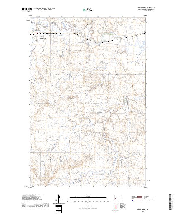
2024 Map of South Heart
USGS Topo · Published 2024About this map
South Heart stands as the primary hub in this Stark County landscape, situated where the Heart River and North Creek meet. The town's grid is anchored by W Main St and S Heart Rd, with Saint Mary's Cem located on the western edge of the community. This 2024 survey captures the characteristic township and range divisions of the North Dakota prairie, including t139n r98w and t139n r97w.
Find a feature on this map
33 named features on this map. Tap any name to fly to it.
Don’t see what you’re looking for? This feature index may not catch every label — zoom into the map to look around manually.
Map Details
Editions of this 2024 South Heart Map
This is the sole edition of this map. No revisions or reprints were ever made.
Other maps of this area

1953 · Dickinson
USGS Topo · 1:250,000

1957 · Dickinson
USGS Topo · 1:250,000

1959 · Dickinson North
USGS Topo · 1:24,000

1959 · Dickinson South
USGS Topo · 1:24,000

1961 · Daglum
USGS Topo · 1:62,500

1962 · Belfield NE
USGS Topo · 1:24,000

1962 · Belfield SE
USGS Topo · 1:24,000

1973 · New Hradec South
USGS Topo · 1:24,000

1973 · New England NW
USGS Topo · 1:24,000

1973 · Schefield
USGS Topo · 1:24,000