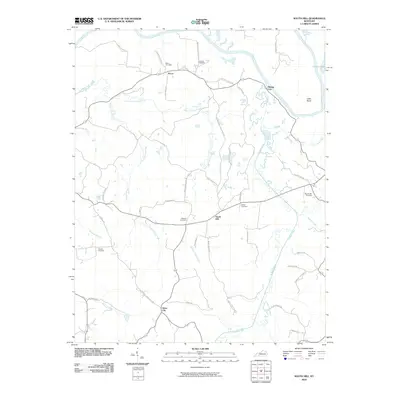
2010 Map of South Hill
USGS Topo · Published 2010About this map
Mining City and Silver City anchor the industrial and social landscape of this Butler County region, where the winding Green River forms a significant northern boundary. The terrain is defined by an intricate network of waterways, including the meandering Panther Creek, Hickory Camp Creek, and Muddy Creek, which have shaped the settlement patterns and road networks over generations. The prevalence of family-named cemeteries such as Rone Cemetery, Browns Cemetery, and Webster Cemetery reflects the deep genealogical roots of the area.
Find a feature on this map
47 named features on this map. Tap any name to fly to it.
Don’t see what you’re looking for? This feature index may not catch every label — zoom into the map to look around manually.
Map Details
Editions of this 2010 South Hill Map
This is the sole edition of this map. No revisions or reprints were ever made.
Other maps of this area

1909 · Hartford
USGS Topo · 1:62,500

1911 · Dunmor
USGS Topo · 1:48,000

1914 · Little Muddy
USGS Topo · 1:62,500

1914 · Dunmor
USGS Topo · 1:62,500

1925 · Spring Lick
USGS Topo · 1:62,500

1953 · Dunmor
USGS Topo · 1:24,000

1953 · South Hill
USGS Topo · 1:24,000

1953 · Quality
USGS Topo · 1:24,000

1953 · Rochester
USGS Topo · 1:24,000

1954 · Evansville
USGS Topo · 1:250,000