
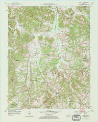
1953 Map of Quality
USGS Topo · Published 1954About this map
Muddy Creek and its many tributaries define the landscape of this rural Kentucky interior, where the border between Butler and Logan Counties follows an Indefinite Boundary through the hills. In the early 1950s, this area remained densely populated with small rural institutions, evidenced by the high concentration of schools and churches such as Toy Spring Sch, Union Zion Sch, and Sand Spring Ch. Small community hubs like Quality and Tunnertown (Berrys Lick P O) serve as anchors for the surrounding farmsteads. Scattered Oil Wells indicate early industrial activity amidst the creek branches, while numerous family-named landmarks like Duncan Cem and Smith Cem provide specific points of interest for genealogical research. The map captures a moment when traditional rural school districts and post offices were still the primary markers of local identity.
Find a feature on this map
38 named features on this map. Tap any name to fly to it.
Don’t see what you’re looking for? This feature index may not catch every label — zoom into the map to look around manually.
Map Details
Editions of this 1953 Quality Map
2 editions found
Other maps of this area

1911 · Dunmor
USGS Topo · 1:48,000

1914 · Little Muddy
USGS Topo · 1:62,500

1914 · Dunmor
USGS Topo · 1:62,500

1951 · Lewisburg
USGS Topo · 1:24,000

1951 · South Union
USGS Topo · 1:24,000

1951 · Homer
USGS Topo · 1:24,000

1953 · Dunmor
USGS Topo · 1:24,000

1953 · South Hill
USGS Topo · 1:24,000

1953 · Rochester
USGS Topo · 1:24,000

1954 · Evansville
USGS Topo · 1:250,000