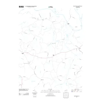
2013 Map of South Hill
USGS Topo · Published 2013About this map
The Green River carves a winding path through the northern landscape of this Butler County region, creating distinctive geographic features such as Little Bend and supporting small riverside settlements like Mining City. The area's settlement pattern is defined by a network of rural roads that connect historically significant locales such as Provo, Silver City, and South Hill.
Find a feature on this map
63 named features on this map. Tap any name to fly to it.
Don’t see what you’re looking for? This feature index may not catch every label — zoom into the map to look around manually.
Map Details
Editions of this 2013 South Hill Map
This is the sole edition of this map. No revisions or reprints were ever made.
Other maps of this area

1909 · Hartford
USGS Topo · 1:62,500

1911 · Dunmor
USGS Topo · 1:48,000

1914 · Little Muddy
USGS Topo · 1:62,500

1914 · Dunmor
USGS Topo · 1:62,500

1925 · Spring Lick
USGS Topo · 1:62,500

1953 · Dunmor
USGS Topo · 1:24,000

1953 · South Hill
USGS Topo · 1:24,000

1953 · Quality
USGS Topo · 1:24,000

1953 · Rochester
USGS Topo · 1:24,000

1954 · Evansville
USGS Topo · 1:250,000