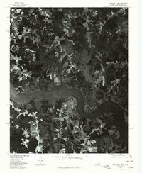
1977 Map of South Hill SE
USGS Topo · Published 1979About this map
Lake Gaston dominates this 1970s orthophotoquad, where the impounded waters of the Roanoke River create a complex shoreline along the Virginia and North Carolina border. This specific survey was produced by the U.S. Geological Survey in cooperation with the North Carolina Department of Natural and Economic Resources, utilizing aerial photography from March 1977. The imagery reveals the mid-century development of lakeside communities like Joyceville, where residential road networks begin to branch into the wooded peninsulas. Further inland, the map shows the rural character of Five Forks, surrounded by a patchwork of cleared agricultural fields and dense forest. The transition from traditional farming to a reservoir-based economy is visible in the contrast between the established inland road patterns and the newer, winding developments that hug the lake's many inlets.
Find a feature on this map
4 named features on this map. Tap any name to fly to it.
Don’t see what you’re looking for? This feature index may not catch every label — zoom into the map to look around manually.
Map Details
Editions of this 1977 South Hill SE Map
This is the sole edition of this map. No revisions or reprints were ever made.
Other maps of this area

1919 · White Plains
USGS Topo · 1:48,000

1920 · White Plains
USGS Topo · 1:62,500

1953 · Norfolk
USGS Topo · 1:250,000

1953 · Greensboro
USGS Topo · 1:250,000

1954 · Greensboro
USGS Topo · 1:250,000

1962 · Greensboro
USGS Topo · 1:250,000

1963 · Gasburg
USGS Topo · 1:24,000

1963 · White Plains
USGS Topo · 1:24,000

1966 · Greensboro
USGS Topo · 1:250,000

1968 · South Hill SE
USGS Topo · 1:24,000