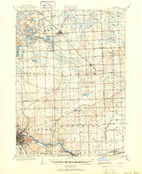
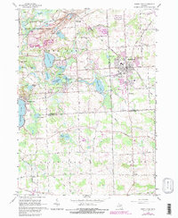
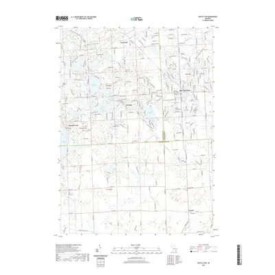
1906 Map of South Lyon
USGS Topo · Published 1951About this map
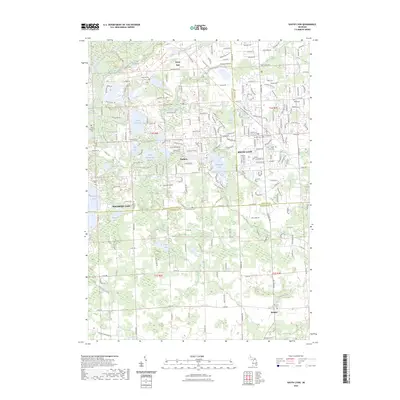
Ann Arbor anchors the southwestern corner of this Michigan survey, where the Michigan Central RR and Ann Arbor RR converge along the winding path of the Huron River. The landscape at the start of the twentieth century is a dense network of early rail lines, including the Pere Marquette RR and the Grand Trunk RR, which intersect at the hub of South Lyon. This area reflects the transition from rural township life to more established rail-side commerce, with small stops like Whitmore Lake Sta and villages such as Salem and Dixboro serving the surrounding agricultural community. To the north and west, the terrain is dotted with glacial features like Greenoak Lake and the Frain Lakes, while smaller settlements like Worden, Brookville, and Cherryhill highlight the era's local township centers before modern expansion changed the regional character.
Find a feature on this map
55 named features on this map. Tap any name to fly to it.
Don’t see what you’re looking for? This feature index may not catch every label — zoom into the map to look around manually.
Map Details
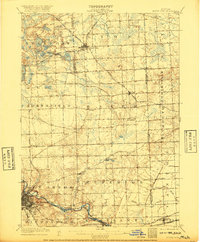
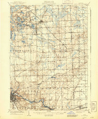
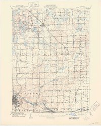
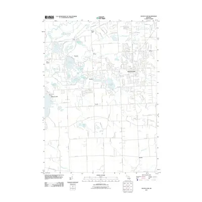
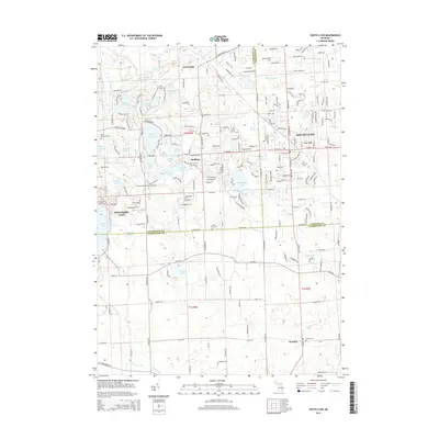
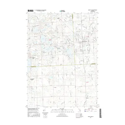
Editions of this 1906 South Lyon Map
5 editions found

Historical Maps of Ann Arbor Through Time
8 maps found

Featured Locations
- Novi, MI
- Canton Township, MI
- Pittsfield Charter Township, MI
- Ann Arbor, MI
- Ypsilanti Charter Township, MI