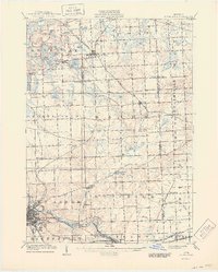
1906 Map of South Lyon
USGS Topo · Published 1944About this map
Ann Arbor and Ypsilanti anchor this early 20th-century survey of the southeastern Michigan interior, where the Huron River and a dense network of steam and electric railways defined the region's geography. The map documents an era of transit-driven growth, featuring the Michigan Central R R corridor alongside the Ann Arbor and Ypsilanti Electric R R. Small agricultural hubs and rail stops like Geddes, Denton, and Whitmore Lake Sta are clearly detailed, showing the placement of individual structures during a time when the rural landscape was becoming increasingly interconnected.
Find a feature on this map
61 named features on this map. Tap any name to fly to it.
Don’t see what you’re looking for? This feature index may not catch every label — zoom into the map to look around manually.
Map Details
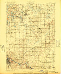
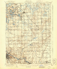
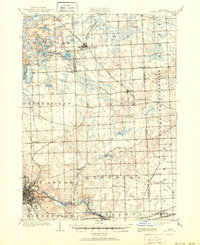
Editions of this 1906 South Lyon Map
5 editions found
Other maps of this area

1902 · South Lyon
USGS Topo · 1:62,500

1902 · Ypsilanti
USGS Topo · 1:62,500

1902 · Dexter
USGS Topo · 1:62,500

1904 · Ann Arbor
USGS Topo · 1:125,000

1905 · Wayne
USGS Topo · 1:62,500

1906 · Ypsilanti
USGS Topo · 1:62,500

1906 · Dexter
USGS Topo · 1:62,500

1906 · Saline
USGS Topo · 1:62,500

1906 · South Lyon
USGS Topo · 1:62,500

1906 · Romulus
USGS Topo · 1:62,500
Featured Places
- Ann Arbor, MI
- Canton Township, MI
- Novi, MI
- Ypsilanti Charter Township, MI
- Pittsfield Charter Township, MI