
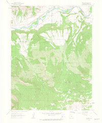
1960 Map of South Mamm Peak
USGS Topo · Published 1964About this map
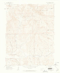
The Garfield Co Mesa Co line bisects this 1960 survey, a landscape defined by the high elevations of the White River National Forest and Grand Mesa National Forest. The topography is dominated by the massive Battlement Mesa, with significant heights reached at South Mamm Peak and Little Baldy. Evidence of early cattle ranching and movement through the high country is found in the network of paths like the Battlement Trail and various unnamed pack trails. In the lower elevations to the southwest, Plateau Creek follows the Clover Sch Road, which once served the local community near Clover Sch. Further east along Buzzard Creek, the Heiberger (Site) marks a former human presence in a territory characterized by steep gulches like Standup Gulch and Slide Gulch. This map provides a look at the intersection of public forest management and rural infrastructure before modern developments shifted the local footprint.
Find a feature on this map
46 named features on this map. Tap any name to fly to it.
Don’t see what you’re looking for? This feature index may not catch every label — zoom into the map to look around manually.
Map Details
Editions of this 1960 South Mamm Peak Map
4 editions found
Other maps of this area

1955 · Collbran
USGS Topo · 1:24,000

1955 · The Meadows
USGS Topo · 1:24,000

1957 · Leadville
USGS Topo · 1:250,000

1959 · Leadville
USGS Topo · 1:250,000

1960 · Leadville
USGS Topo · 1:250,000

1960 · North Mamm Peak
USGS Topo · 1:24,000
1960 · Hawxhurst Creek
USGS Topo · 1:24,000
1960 · Rulison
USGS Topo · 1:24,000

1961 · Porter Mountain
USGS Topo · 1:24,000

1962 · Leadville
USGS Topo · 1:250,000