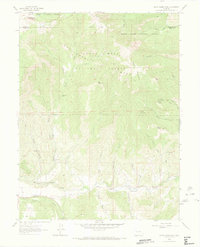
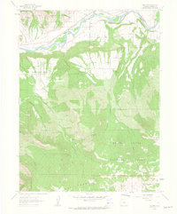
1960 Map of South Mamm Peak
USGS Topo · Published 1973About this map
Battlement and Grand Mesa national forests meet at this high-altitude Colorado intersection where Garfield and Mesa counties join. The landscape is defined by massive peaks and deep drainage systems, dominated by South Mamm Peak and Elk Mtn in the north and the expansive Plateau Peninsula to the southwest. This 1960 field check captures the area when it was largely accessible only by a network of historic routes, including the Battlement Trail and several nameless pack trails that weave through the drainage basins of Buzzard Creek and Cheney Creek.
Find a feature on this map
38 named features on this map. Tap any name to fly to it.
Don’t see what you’re looking for? This feature index may not catch every label — zoom into the map to look around manually.
Map Details
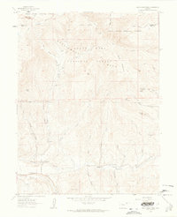
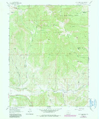
Editions of this 1960 South Mamm Peak Map
4 editions found
Other maps of this area

1955 · Collbran
USGS Topo · 1:24,000

1955 · The Meadows
USGS Topo · 1:24,000

1957 · Leadville
USGS Topo · 1:250,000

1959 · Leadville
USGS Topo · 1:250,000

1960 · Leadville
USGS Topo · 1:250,000

1960 · North Mamm Peak
USGS Topo · 1:24,000
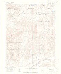
1960 · Hawxhurst Creek
USGS Topo · 1:24,000

1960 · South Mamm Peak
USGS Topo · 1:24,000
1960 · Rulison
USGS Topo · 1:24,000

1961 · Porter Mountain
USGS Topo · 1:24,000