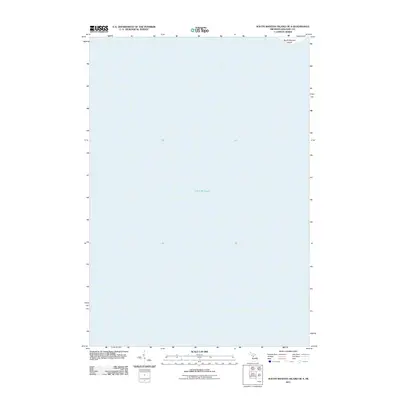
2011 Map of South Manitou Island OE S
USGS Topo · Published 2011About this map
Lake Michigan dominates this aquatic chart, which covers the expansive waters off the southwestern coast of the Manitou archipelago. A small portion of land is visible in the northeast corner of the sheet, representing the southernmost edge of South Manitou Island. The map illustrates the isolated position of the island within the larger basin of the lake, providing a clear reference for the open-water channels that separated these landmasses from the Michigan mainland during the early twenty-first century. Produced by the U.S. Geological Survey, this survey is primarily a hydrographic study of the depths and surrounding navigation routes south of the main island settlement.
Find a feature on this map
2 named features on this map. Tap any name to fly to it.
Don’t see what you’re looking for? This feature index may not catch every label — zoom into the map to look around manually.
Map Details
Editions of this 2011 South Manitou Island OE S Map
This is the sole edition of this map. No revisions or reprints were ever made.
Other maps of this area

1954 · Escanaba
USGS Topo · 1:250,000

1954 · Manitowoc
USGS Topo · 1:250,000

1956 · North Manitou
USGS Topo · 1:62,500

1957 · Escanaba
USGS Topo · 1:250,000

1957 · Empire
USGS Topo · 1:62,500

1958 · Escanaba
USGS Topo · 1:250,000

1958 · Manitowoc
USGS Topo · 1:250,000
1983 · Empire
USGS Topo · 1:25,000
1983 · Glen Haven
USGS Topo · 1:25,000
1983 · South Manitou Island
USGS Topo · 1:24,000