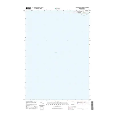
2014 Map of South Manitou Island OE S
USGS Topo · Published 2014About this map
Lake Michigan dominates this coastal survey, which captures a narrow slice of the northern Michigan shoreline during the early 21st century. The map focuses on the protected landscape of the Sleeping Bear Dunes National Lakeshore, situated within t30n r15w. This specific location highlights the interaction between the vast open waters and the federally preserved dune environments. Because the map represents a mostly offshore or coastal area, it emphasizes the maritime boundaries and the topographical contours of the shoreline rather than inland development, making it an essential reference for understanding the modern extent of this protected federal land.
Find a feature on this map
3 named features on this map. Tap any name to fly to it.
Don’t see what you’re looking for? This feature index may not catch every label — zoom into the map to look around manually.
Map Details
Editions of this 2014 South Manitou Island OE S Map
This is the sole edition of this map. No revisions or reprints were ever made.
Other maps of this area

1954 · Escanaba
USGS Topo · 1:250,000

1954 · Manitowoc
USGS Topo · 1:250,000

1956 · North Manitou
USGS Topo · 1:62,500

1957 · Escanaba
USGS Topo · 1:250,000

1957 · Empire
USGS Topo · 1:62,500

1958 · Escanaba
USGS Topo · 1:250,000

1958 · Manitowoc
USGS Topo · 1:250,000
1983 · Empire
USGS Topo · 1:25,000
1983 · Glen Haven
USGS Topo · 1:25,000
1983 · South Manitou Island
USGS Topo · 1:24,000