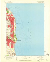
1958 Map of South Milwaukee
USGS Topo · Published 1960About this map
St Francis Seminary and St Marys Academy anchor the northern reaches of this coastal survey, where the urban expansion of Milwaukee meets the developing lakefront suburbs. The landscape is defined by a dense network of civic and religious institutions, including numerous parochial schools such as St Frederick Sch and St Adalbert Sch, alongside established greenspaces like Grant Park. Industrial and utility infrastructure, notably the Powerplant and Waterworks, cluster near the shore to utilize the resources of Lake Michigan.
Find a feature on this map
53 named features on this map. Tap any name to fly to it.
Don’t see what you’re looking for? This feature index may not catch every label — zoom into the map to look around manually.
Map Details
Editions of this 1958 South Milwaukee Map
4 editions found
Other maps of this area

1891 · Bayview
USGS Topo · 1:62,500

1892 · Milwaukee
USGS Topo · 1:62,500

1901 · Milwaukee
USGS Topo · 1:62,500

1901 · Bayview
USGS Topo · 1:62,500

1906 · Milwaukee
USGS Topo · 1:62,500

1954 · Milwaukee
USGS Topo · 1:250,000

1958 · Milwaukee
USGS Topo · 1:250,000
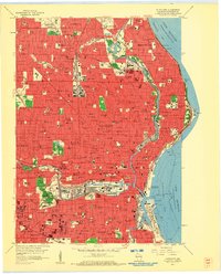
1958 · Milwaukee
USGS Topo · 1:24,000
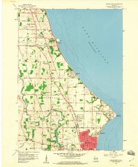
1958 · Racine North
USGS Topo · 1:24,000
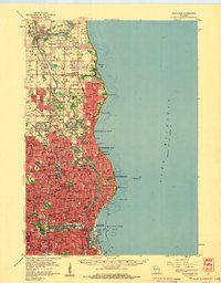
1958 · Milwaukee
USGS Topo · 1:62,500