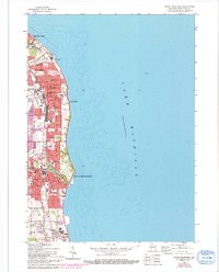
1958 Map of South Milwaukee
USGS Topo · Published 1994About this map
St Francis, Cudahy, and South Milwaukee line the shoreline of Lake Michigan in this mid-century portrait of suburban and industrial growth. The lakefront is defined by a series of recreation areas and scenic corridors, including Warnimont Park and Grant Park Drive, which contrast with the industrial presence of the Powerplant and nearby Gravel Pit. The map captures a dense network of parochial and public institutions, from the prominent St Francis Seminary and St Marys Academy in the north to the industrial hamlet of Carrollville in Oak Creek to the south.
Find a feature on this map
51 named features on this map. Tap any name to fly to it.
Don’t see what you’re looking for? This feature index may not catch every label — zoom into the map to look around manually.
Map Details
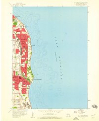
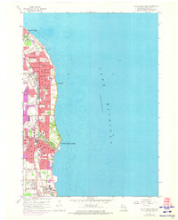
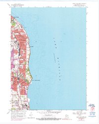
Editions of this 1958 South Milwaukee Map
4 editions found
Other maps of this area

1891 · Bayview
USGS Topo · 1:62,500

1892 · Milwaukee
USGS Topo · 1:62,500

1901 · Milwaukee
USGS Topo · 1:62,500

1901 · Bayview
USGS Topo · 1:62,500

1906 · Milwaukee
USGS Topo · 1:62,500

1954 · Milwaukee
USGS Topo · 1:250,000

1958 · Milwaukee
USGS Topo · 1:250,000
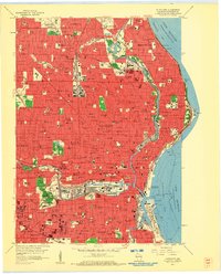
1958 · Milwaukee
USGS Topo · 1:24,000
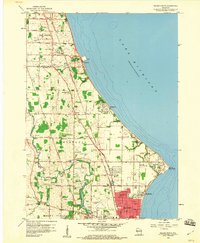
1958 · Racine North
USGS Topo · 1:24,000
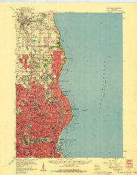
1958 · Milwaukee
USGS Topo · 1:62,500