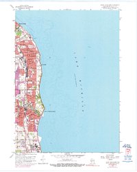
1958 Map of South Milwaukee
USGS Topo · Published 1976About this map
Lake Michigan defines the eastern edge of this mid-century industrial and residential corridor, where the shoreline is shaped by municipal utilities and expansive green spaces. The map documents the dense urban development of St Francis, Cudahy, and South Milwaukee during a period of significant growth, with purple revisions from 1971 indicating the rapid extension of these suburban areas. Notable institutional landmarks like St Francis Seminary and St Marys Academy stand near the northern lakeshore, while the southern reaches near Oak Creek show the industrial footprint of a large Powerplant and the Sewage Disposal plant.
Find a feature on this map
52 named features on this map. Tap any name to fly to it.
Don’t see what you’re looking for? This feature index may not catch every label — zoom into the map to look around manually.
Map Details
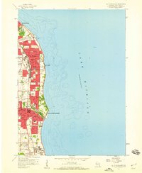
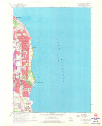
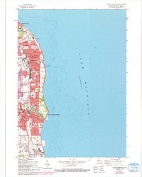
Editions of this 1958 South Milwaukee Map
4 editions found
Other maps of this area

1891 · Bayview
USGS Topo · 1:62,500

1892 · Milwaukee
USGS Topo · 1:62,500

1901 · Milwaukee
USGS Topo · 1:62,500

1901 · Bayview
USGS Topo · 1:62,500

1906 · Milwaukee
USGS Topo · 1:62,500

1954 · Milwaukee
USGS Topo · 1:250,000

1958 · Milwaukee
USGS Topo · 1:250,000
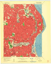
1958 · Milwaukee
USGS Topo · 1:24,000
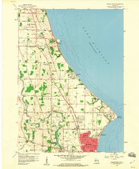
1958 · Racine North
USGS Topo · 1:24,000

1958 · Milwaukee
USGS Topo · 1:62,500