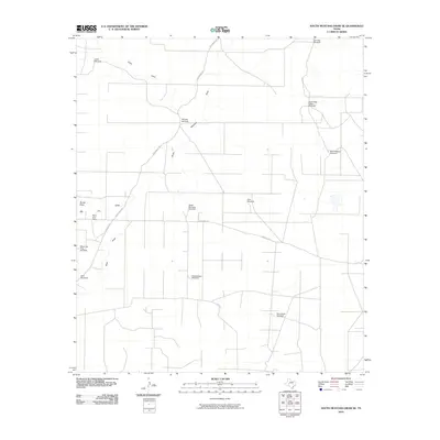
2010 Map of South Mustang Draw SE
USGS Topo · Published 2010About this map
The vast Irion County range country south of the South Mustang Draw is defined by its network of functional landmarks and sparse settlements. Working cattle ranching operations are anchored by sites such as West Line Camp and Big Jim, reflecting the enduring pastoral economy of this West Texas region. The landscape is a complex web of drainage draws and ranch infrastructure, where travel is dictated by routes like N Entrance Rd and Rocker B Ln.
Find a feature on this map
19 named features on this map. Tap any name to fly to it.
Don’t see what you’re looking for? This feature index may not catch every label — zoom into the map to look around manually.
Map Details
Editions of this 2010 South Mustang Draw SE Map
This is the sole edition of this map. No revisions or reprints were ever made.
Other maps of this area

1920 · Big Lake
USGS Topo · 1:62,500

1920 · Barnhart
USGS Topo · 1:62,500

1921 · Ketchum Mountain
USGS Topo · 1:62,500

1922 · Big Lake
USGS Topo · 1:62,500

1922 · Barnhart
USGS Topo · 1:62,500

1923 · Ketchum Mountain
USGS Topo · 1:62,500

1954 · San Angelo
USGS Topo · 1:250,000

1958 · San Angelo
USGS Topo · 1:250,000

1965 · San Angelo
USGS Topo · 1:250,000

1970 · South Mustang Draw SE
USGS Topo · 1:24,000