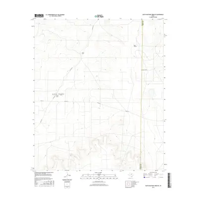
2016 Map of South Mustang Draw SE
USGS Topo · Published 2016About this map
The boundary between Reagan Co and Irion Co cuts through this high desert terrain, where a network of dry watercourses defines the landscape. Drainage patterns such as Lewis Draw and West Hollow converge from the north, while the southern reaches are marked by the confluence of Isaac Draw, Big Jim Draw, and the primary South Mustang Draw. These features represent the critical topography of the Edwards Plateau, where water management and ranching have long dictated the human footprint. Modern ranching infrastructure is visible through names like Rocker B Ln and N Entrance Rd, which provide access to this open range. This map captures the area before significant changes in land use, showing the essential relationship between the intermittent drainage of Antelope Draw and the surrounding rangeland.
Find a feature on this map
10 named features on this map. Tap any name to fly to it.
Don’t see what you’re looking for? This feature index may not catch every label — zoom into the map to look around manually.
Map Details
Editions of this 2016 South Mustang Draw SE Map
This is the sole edition of this map. No revisions or reprints were ever made.
Other maps of this area

1920 · Big Lake
USGS Topo · 1:62,500

1920 · Barnhart
USGS Topo · 1:62,500

1921 · Ketchum Mountain
USGS Topo · 1:62,500

1922 · Big Lake
USGS Topo · 1:62,500

1922 · Barnhart
USGS Topo · 1:62,500

1923 · Ketchum Mountain
USGS Topo · 1:62,500

1954 · San Angelo
USGS Topo · 1:250,000

1958 · San Angelo
USGS Topo · 1:250,000

1965 · San Angelo
USGS Topo · 1:250,000

1970 · South Mustang Draw SE
USGS Topo · 1:24,000