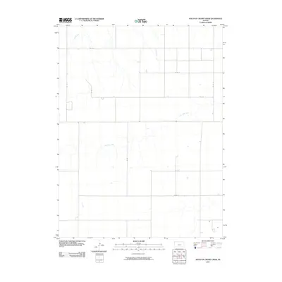
2009 Map of South of Crosby Creek
USGS Topo · Published 2009About this map
Little Beaver Creek meanders through this agricultural landscape in Sherman County, forming the primary drainage system alongside the waters of Battle Creek. This 2009 survey by the U.S. Geological Survey illustrates the rigid section-line organization of the High Plains, where travel and property boundaries are defined by an extensive grid of local routes like Co Rd 4 and Co Rd D. The map provides a precise view of the rural infrastructure at the start of the 21st century, showing the placement of isolated farmsteads and water management features. While largely open land, the subtle topographical shifts around Rd A and Co Rd 78 reveal the seasonal drainage patterns essential to the region's farming heritage. For those studying Kansas land use, the intersection of these numbered county roads and the natural hydrology of the creeks offers a clear picture of how the landscape has been divided and utilized.
Find a feature on this map
12 named features on this map. Tap any name to fly to it.
Don’t see what you’re looking for? This feature index may not catch every label — zoom into the map to look around manually.
Map Details
Editions of this 2009 South of Crosby Creek Map
This is the sole edition of this map. No revisions or reprints were ever made.
Other maps of this area

1950 · Bonny Reservoir
USGS Topo · 1:62,500

1952 · St Francis 3
USGS Topo · 1:62,500

1954 · Limon
USGS Topo · 1:250,000

1954 · Goodland
USGS Topo · 1:250,000

1956 · Goodland
USGS Topo · 1:250,000

1957 · Limon
USGS Topo · 1:250,000

1957 · Goodland
USGS Topo · 1:250,000

1958 · Limon
USGS Topo · 1:250,000

1966 · Ruleton NW
USGS Topo · 1:24,000

1966 · Ruleton NE
USGS Topo · 1:24,000