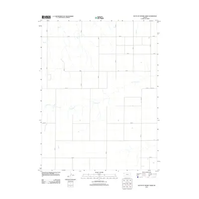
2012 Map of South of Crosby Creek
USGS Topo · Published 2012About this map
Little Beaver Cr and Battle Cr wind through this section of the High Plains, illustrating the drainage patterns of western Kansas. This 2012 survey shows a landscape dominated by a precise section-line road grid, including Road A, Road B, and Road 78, which dictates the movement across the agricultural terrain. The presence of Co Line Rd on the eastern edge indicates the boundary between Sherman and Thomas counties. While largely devoid of named settlements, the map reveals the critical importance of water resources like Crosby Cr in an area defined by large-scale farming and sparse population density in the early 21st century.
Find a feature on this map
20 named features on this map. Tap any name to fly to it.
Don’t see what you’re looking for? This feature index may not catch every label — zoom into the map to look around manually.
Map Details
Editions of this 2012 South of Crosby Creek Map
This is the sole edition of this map. No revisions or reprints were ever made.
Other maps of this area

1950 · Bonny Reservoir
USGS Topo · 1:62,500

1952 · St Francis 3
USGS Topo · 1:62,500

1954 · Limon
USGS Topo · 1:250,000

1954 · Goodland
USGS Topo · 1:250,000

1956 · Goodland
USGS Topo · 1:250,000

1957 · Limon
USGS Topo · 1:250,000

1957 · Goodland
USGS Topo · 1:250,000

1958 · Limon
USGS Topo · 1:250,000

1966 · Ruleton NW
USGS Topo · 1:24,000

1966 · Ruleton NE
USGS Topo · 1:24,000