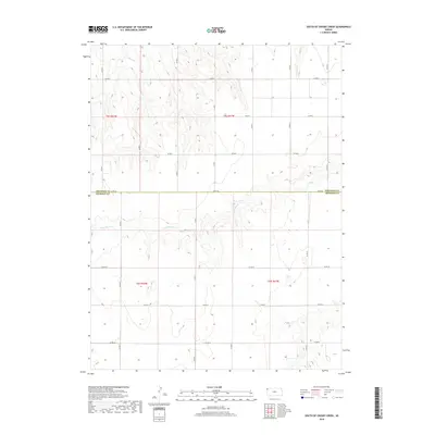
2018 Map of South of Crosby Creek
USGS Topo · Published 2018About this map
The High Plains landscape of Northwest Kansas is defined by the ephemeral drainages of Little Beaver Cr, Crosby Cr, and Battle Cr as they cut through the agricultural tableland. Straddling the border between Cheyenne County and Sherman County, this area reflects the rigid geometry of the Public Land Survey System, where a network of county roads like Co RD 80 and Co RD 10 follow section lines. The map reveals the subtle topography of the region, where the land falls away from the flat upland into winding draws and coulees. This 2018 survey illustrates a modern rural layout where industrial agriculture and traditional land divisions meet, with very few structures or named settlements interrupting the vast stretches of open country and seasonal watercourses.
Find a feature on this map
22 named features on this map. Tap any name to fly to it.
Don’t see what you’re looking for? This feature index may not catch every label — zoom into the map to look around manually.
Map Details
Editions of this 2018 South of Crosby Creek Map
This is the sole edition of this map. No revisions or reprints were ever made.
Other maps of this area

1950 · Bonny Reservoir
USGS Topo · 1:62,500

1952 · St Francis 3
USGS Topo · 1:62,500

1954 · Limon
USGS Topo · 1:250,000

1954 · Goodland
USGS Topo · 1:250,000

1956 · Goodland
USGS Topo · 1:250,000

1957 · Limon
USGS Topo · 1:250,000

1957 · Goodland
USGS Topo · 1:250,000

1958 · Limon
USGS Topo · 1:250,000

1966 · Ruleton NW
USGS Topo · 1:24,000

1966 · Ruleton NE
USGS Topo · 1:24,000