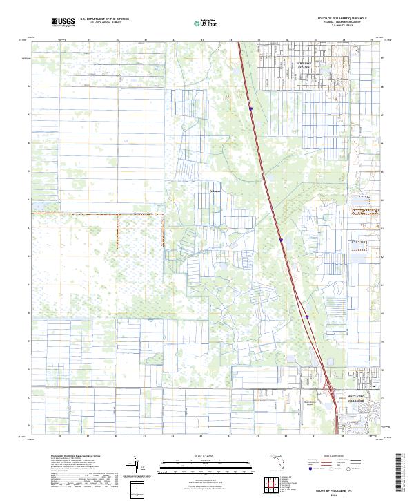
2024 Map of South of Fellsmere
USGS Topo · Published 2024About this map
Fellsmere and the neighboring residential developments of Vero Lake Estates define the landscape of Indian River County in this modern survey. The map reveals the precise grid of the West Vero Corridor and the intricate canal-and-street layout of coastal-style neighborhoods like Darby Cay and Bimini Cay Cir. Transportation and recreation are central to the area's layout, highlighted by the New Hibiscus Airpark and the extensive Blue Cypress Conservation Area Trl which skirts the western wetlands. The transition from the rural outskirts of the Blue Cypress Conservation Area Trail to the commercial and residential corridors along 20th St illustrates the ongoing evolution of Florida's Atlantic coastal plains.
Find a feature on this map
66 named features on this map. Tap any name to fly to it.
Don’t see what you’re looking for? This feature index may not catch every label — zoom into the map to look around manually.
Map Details
Editions of this 2024 South of Fellsmere Map
This is the sole edition of this map. No revisions or reprints were ever made.
Other maps of this area

1949 · Fellsmere
USGS Topo · 1:24,000

1949 · Vero Beach
USGS Topo · 1:24,000

1949 · Sebastian
USGS Topo · 1:24,000

1949 · Oslo
USGS Topo · 1:24,000

1950 · Oslo
USGS Topo · 1:24,000

1950 · Vero Beach
USGS Topo · 1:24,000

1951 · Fellsmere
USGS Topo · 1:24,000

1951 · Sebastian
USGS Topo · 1:24,000

1953 · Fellsmere SW
USGS Topo · 1:24,000

1953 · Fellsmere 4 SE
USGS Topo · 1:24,000