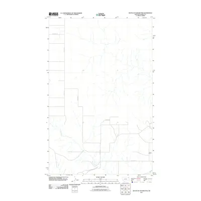
2011 Map of South of Four Buttes
USGS Topo · Published 2011About this map
Police Creek snakes through this sparsely populated stretch of Daniels County, providing the primary drainage for a landscape shaped by rural section lines and a modest network of gravel roads. In the southeast corner, the Fairview Cemetery serves as a lonely landmark of local heritage, situated near the intersection of Silver Star Rd and Linderman Rd. The terrain is defined by its agricultural layout, where S 4 Buttes Rd and Police Creek Rd track across the northern and western reaches, reflecting a post-settlement era of dryland farming and ranching on the northern plains.
Find a feature on this map
6 named features on this map. Tap any name to fly to it.
Don’t see what you’re looking for? This feature index may not catch every label — zoom into the map to look around manually.
Map Details
Editions of this 2011 South of Four Buttes Map
This is the sole edition of this map. No revisions or reprints were ever made.
Other maps of this area

1954 · Wolf Point
USGS Topo · 1:250,000

1958 · Wolf Point
USGS Topo · 1:250,000

1973 · Peerless 4 NE
USGS Topo · 1:24,000

1973 · Scobey
USGS Topo · 1:24,000

1973 · Nielsen Coulee
USGS Topo · 1:24,000

1973 · Killenbeck Reservoir
USGS Topo · 1:24,000

1973 · Cabarett Coulee
USGS Topo · 1:24,000

1973 · Peerless 4 SE
USGS Topo · 1:24,000

1973 · Peerless 4 SW
USGS Topo · 1:24,000

1973 · Four Buttes
USGS Topo · 1:24,000