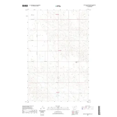
2020 Map of South of Four Buttes
USGS Topo · Published 2020About this map
Police Cr and Cabarett Coulee carve through the high plains of Daniels County in this 2020 topographic study. The landscape is defined by the Public Land Survey System, with township boundaries for t35n r47e, t34n r47e, and t33n r47e organizing the vast agricultural and grazing sections. The drainage patterns of Negro Coulee demonstrate the area's characteristic erosional features where water move across the open terrain.
Find a feature on this map
12 named features on this map. Tap any name to fly to it.
Don’t see what you’re looking for? This feature index may not catch every label — zoom into the map to look around manually.
Map Details
Editions of this 2020 South of Four Buttes Map
This is the sole edition of this map. No revisions or reprints were ever made.
Other maps of this area

1954 · Wolf Point
USGS Topo · 1:250,000

1958 · Wolf Point
USGS Topo · 1:250,000

1973 · Peerless 4 NE
USGS Topo · 1:24,000

1973 · Scobey
USGS Topo · 1:24,000

1973 · Nielsen Coulee
USGS Topo · 1:24,000

1973 · Killenbeck Reservoir
USGS Topo · 1:24,000

1973 · Cabarett Coulee
USGS Topo · 1:24,000

1973 · Peerless 4 SE
USGS Topo · 1:24,000

1973 · Peerless 4 SW
USGS Topo · 1:24,000

1973 · Four Buttes
USGS Topo · 1:24,000