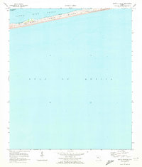
1970 Map of South Of Holley
USGS Topo · Published 1972About this map
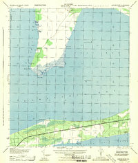
Santa Rosa Island stretches across this 1970 coastal survey, serving as a narrow barrier between the sheltered waters of Santa Rosa Sound and the open Gulf of Mexico. The landscape is defined by its shifting coastal elements, including prominent sand dunes and a significant tidal flat that highlights the dynamic nature of the Florida shoreline at this time. This sheet is particularly interesting for its focus on the physical hydrography and the natural boundary between Santa Rosa Co and Escambia Co, providing a clear record of the undeveloped coastline and bathymetric soundings before significant modern shifts in beach morphology. The focus remains on the intersection of land and sea, documenting the precise contours of the barrier island system.
Find a feature on this map
6 named features on this map. Tap any name to fly to it.
Don’t see what you’re looking for? This feature index may not catch every label — zoom into the map to look around manually.
Map Details
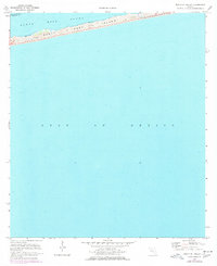
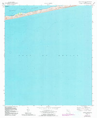
Editions of this 1970 South Of Holley Map
3 editions found
Other maps of this area

1921 · Holley
USGS Topo · 1:62,500

1921 · Pensacola
USGS Topo · 1:62,500

1936 · Holley
USGS Topo · 1:48,000

1938 · Holley
USGS Topo · 1:62,500

1941 · Pensacola
USGS Topo · 1:62,500

1942 · Pensacola
USGS Topo · 1:62,500
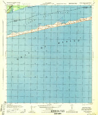
1944 · Oriole Beach
USGS Topo · 1:25,000
1944 · Garcon Point
USGS Topo · 1:25,000

1957 · Pensacola
USGS Topo · 1:250,000

1959 · Pensacola
USGS Topo · 1:250,000