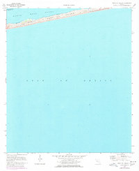
1970 Map of South Of Holley
USGS Topo · Published 1977About this map
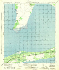
Santa Rosa Island stretches across this narrow coastal landscape, separating the open waters of the Gulf of Mexico from the sheltered reaches of Santa Rosa Sound. Surveyed in 1970 and updated with 1976 aerial photography, this map documents the barrier island's natural features before significant modern development, emphasizing its extensive Sand Dunes and shifting Tidal Flat areas. The boundary between Santa Rosa and Escambia counties runs through the sound, marking a jurisdictional divide in this maritime environment. This map is primarily an aquatic and topographic study, capturing the exact shoreline and bathymetric depths of the period. It provides a specific record of the island's morphology at a time when the landscape was defined more by its coastal processes than by permanent human structures.
Find a feature on this map
6 named features on this map. Tap any name to fly to it.
Don’t see what you’re looking for? This feature index may not catch every label — zoom into the map to look around manually.
Map Details
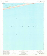
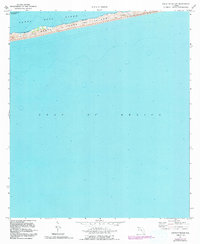
Editions of this 1970 South Of Holley Map
3 editions found
Other maps of this area

1921 · Holley
USGS Topo · 1:62,500

1921 · Pensacola
USGS Topo · 1:62,500

1936 · Holley
USGS Topo · 1:48,000

1938 · Holley
USGS Topo · 1:62,500

1941 · Pensacola
USGS Topo · 1:62,500

1942 · Pensacola
USGS Topo · 1:62,500
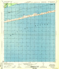
1944 · Oriole Beach
USGS Topo · 1:25,000
1944 · Garcon Point
USGS Topo · 1:25,000

1957 · Pensacola
USGS Topo · 1:250,000

1959 · Pensacola
USGS Topo · 1:250,000