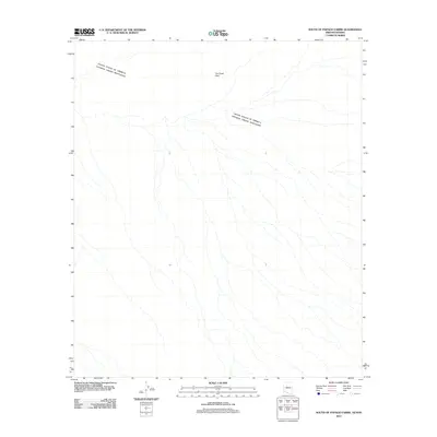
2011 Map of South of Papago Farms
USGS Topo · Published 2011About this map
United States of America Estados Unidos Mexicanos international border defines this remote desert landscape within the Sonoran borderlands. The topography is characterized by a series of north-south drainage patterns that cut across The Great Plain, a prominent feature in the northern portion of the quadrangle. This 2011 survey by the U.S. Geological Survey provides a precise record of the arid terrain and the sparse physical infrastructure along the boundary between Arizona and Sonora during the early 21st century. The map highlights the natural hydrography of the region, where seasonal washes and ephemeral streams dictate the shape of the land south of the Papago Farms area.
Find a feature on this map
2 named features on this map. Tap any name to fly to it.
Don’t see what you’re looking for? This feature index may not catch every label — zoom into the map to look around manually.
Map Details
Editions of this 2011 South of Papago Farms Map
This is the sole edition of this map. No revisions or reprints were ever made.
Other maps of this area

1954 · Sonoyta
USGS Topo · 1:250,000

1963 · Kom Vo
USGS Topo · 1:62,500

1963 · Gu Oidak
USGS Topo · 1:62,500
1963 · La Lesna Mts.
USGS Topo · 1:62,500

1963 · Lukeville
USGS Topo · 1:250,000
1988 · South of Bailey Peak
USGS Topo · 1:24,000
1988 · Kots Kug Ranch
USGS Topo · 1:24,000
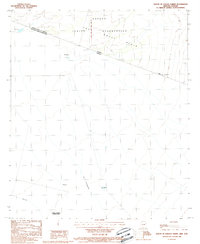
1988 · South of Papago Farms
USGS Topo · 1:24,000
1988 · Bailey Peak
USGS Topo · 1:24,000
1988 · Papago Farms
USGS Topo · 1:24,000