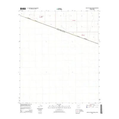
2014 Map of South of Papago Farms
USGS Topo · Published 2014About this map
The Great Plain dominates the northern reaches of this borderlands survey, where the arid landscape of southern Pima Co, Arizona, meets the international boundary. This portion of the Sonoran Desert is defined by the stark diagonal of the United States of America Estados Unidos Mexicanos border line, cutting across the natural terrain. The map illustrates a transitional zone where the flat expanses of the desert floor begin to yield to subtle topographic changes, mapped through a series of north-south dry washes and drainage patterns that characterize the local hydrology. This 2014 edition provides a clear record of the political and geographic dividing line at a specific point in the early 21st century, showing how the public land survey system intersects with the sovereign border.
Find a feature on this map
7 named features on this map. Tap any name to fly to it.
Don’t see what you’re looking for? This feature index may not catch every label — zoom into the map to look around manually.
Map Details
Editions of this 2014 South of Papago Farms Map
This is the sole edition of this map. No revisions or reprints were ever made.
Other maps of this area

1954 · Sonoyta
USGS Topo · 1:250,000

1963 · Kom Vo
USGS Topo · 1:62,500

1963 · Gu Oidak
USGS Topo · 1:62,500
1963 · La Lesna Mts.
USGS Topo · 1:62,500

1963 · Lukeville
USGS Topo · 1:250,000
1988 · South of Bailey Peak
USGS Topo · 1:24,000
1988 · Kots Kug Ranch
USGS Topo · 1:24,000
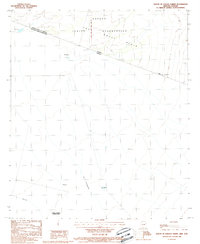
1988 · South of Papago Farms
USGS Topo · 1:24,000
1988 · Bailey Peak
USGS Topo · 1:24,000
1988 · Papago Farms
USGS Topo · 1:24,000