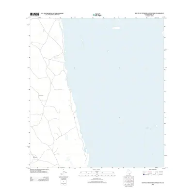
2013 Map of South of Potrero Lopeno NW
USGS Topo · Published 2013About this map
Golondrina Well and Mota Mesquite Well stand as vital reference points in this sparsely populated stretch of Kenedy County. The landscape is defined by the transition from the coastal plains to the waters of the Laguna Madre, which dominates the eastern half of the map. Tracing the network of unpaved roads and trails reveals the functional nature of the terrain, where named wells served as essential landmarks for land management and navigation in a region characterized by coastal flats and low-lying elevations. This 2013 survey provides a clear view of the undeveloped shoreline before modern shifts in coastal topography or water use might alter these remote locations.
Find a feature on this map
2 named features on this map. Tap any name to fly to it.
Don’t see what you’re looking for? This feature index may not catch every label — zoom into the map to look around manually.
Map Details
Editions of this 2013 South of Potrero Lopeno NW Map
This is the sole edition of this map. No revisions or reprints were ever made.
Other maps of this area

1921 · Tarida Ranch
USGS Topo · 1:62,500

1923 · Lopena Island
USGS Topo · 1:62,500

1923 · Saltillo Ranch
USGS Topo · 1:62,500

1951 · South of Potrero Lopeno NE
USGS Topo · 1:24,000

1952 · Potrero Lopeno SE
USGS Topo · 1:24,000

1952 · South of Potrero Lopeno NW
USGS Topo · 1:24,000

1952 · South of Potrero Lopeno SE
USGS Topo · 1:24,000

1952 · Port Mansfield
USGS Topo · 1:24,000

1952 · Potrero Lopeno SW
USGS Topo · 1:24,000

1952 · Potrero Lopeno
USGS Topo · 1:62,500