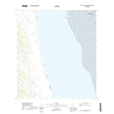
2019 Map of South of Potrero Lopeno NW
USGS Topo · Published 2019About this map
Padre Island National Seashore dominates the eastern reaches of this coastal survey, where the barrier island meets the open waters of the Gulf. The interior of the quadrangle is largely defined by the expansive Red Fish Bay, a shallow lagoon environment that separates the mainland from the protective barrier of Padre Island. Running north to south through these waters, the Intracoastal Waterway serves as the primary maritime artery for this stretch of the Texas coast. The map illustrates a landscape of subtle elevations and wetlands, typical of the Kenedy County shoreline, providing a clear record of the coastal geography and navigational routes as they existed in the late twenty-teens.
Find a feature on this map
4 named features on this map. Tap any name to fly to it.
Don’t see what you’re looking for? This feature index may not catch every label — zoom into the map to look around manually.
Map Details
Editions of this 2019 South of Potrero Lopeno NW Map
This is the sole edition of this map. No revisions or reprints were ever made.
Other maps of this area

1921 · Tarida Ranch
USGS Topo · 1:62,500

1923 · Lopena Island
USGS Topo · 1:62,500

1923 · Saltillo Ranch
USGS Topo · 1:62,500

1951 · South of Potrero Lopeno NE
USGS Topo · 1:24,000

1952 · Potrero Lopeno SE
USGS Topo · 1:24,000

1952 · South of Potrero Lopeno NW
USGS Topo · 1:24,000

1952 · South of Potrero Lopeno SE
USGS Topo · 1:24,000

1952 · Port Mansfield
USGS Topo · 1:24,000

1952 · Potrero Lopeno SW
USGS Topo · 1:24,000

1952 · Potrero Lopeno
USGS Topo · 1:62,500