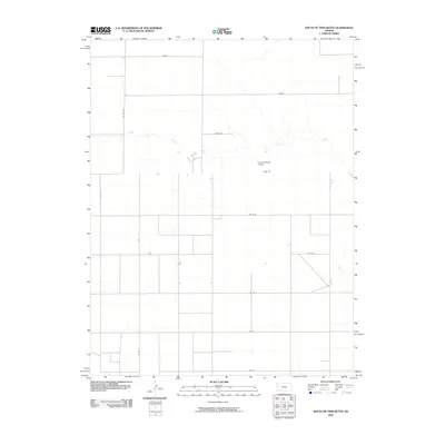
2010 Map of South of Twin Butte
USGS Topo · Published 2010About this map
Chalk Creek meanders across the high plains of western Kansas in this 2010 survey of Wallace County. The landscape is defined by the rigid geometry of the Section Land Survey system, where gravel and dirt roads like Bison Rd and Adobe Rd follow mile-square grid lines across the shortgrass prairie. This digital-era map captures a rural environment where large-scale ranching and agriculture are the primary human imprints. Aside from the established road network, which includes named routes like Dakota and Coyote, the most prominent landmark is the Arrow B Ranch Airport, reflecting the necessity of private aviation for navigating this expansive terrain. This map serves as a clear record of the modern rural infrastructure and land management patterns in a region where water sources like Chalk Creek remain the most significant natural features.
Find a feature on this map
14 named features on this map. Tap any name to fly to it.
Don’t see what you’re looking for? This feature index may not catch every label — zoom into the map to look around manually.
Map Details
Editions of this 2010 South of Twin Butte Map
This is the sole edition of this map. No revisions or reprints were ever made.
Other maps of this area

1955 · Scott City
USGS Topo · 1:250,000

1958 · Scott City
USGS Topo · 1:250,000

1959 · Wallace
USGS Topo · 1:62,500

1968 · Russell Springs 3 SW
USGS Topo · 1:24,000

1968 · Russell Springs 3 NW
USGS Topo · 1:24,000

1968 · Russell Springs 3 SE
USGS Topo · 1:24,000

1968 · Sharon Springs 4 NE
USGS Topo · 1:24,000

1968 · Russell Springs 3 NE
USGS Topo · 1:24,000

1969 · Russell Springs 2 SW
USGS Topo · 1:24,000

1969 · Russell Springs 2 SE
USGS Topo · 1:24,000