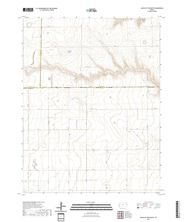
2022 Map of South of Twin Butte
USGS Topo · Published 2022About this map
Harrison Flats dominates the high ground in this section of the High Plains where the borders of Wallace, Logan, and Wichita counties converge. The landscape is characterized by a sparse, grid-based road network typical of late twentieth-century agricultural development, with routes such as Co Rd 100 and Adobe Rd providing access across the expansive terrain. A notable point of interest is the Aero B Ranch Airport, situated just north of the Wichita County line, reflecting the importance of private aviation in managing these large territorial holdings. The map also identifies distinct local areas like Coyote and Dakota, marking a remote environment where the natural topography of flats and draws remains the primary defining feature of the land.
Find a feature on this map
29 named features on this map. Tap any name to fly to it.
Don’t see what you’re looking for? This feature index may not catch every label — zoom into the map to look around manually.
Map Details
Editions of this 2022 South of Twin Butte Map
This is the sole edition of this map. No revisions or reprints were ever made.
Other maps of this area

1955 · Scott City
USGS Topo · 1:250,000

1958 · Scott City
USGS Topo · 1:250,000

1959 · Wallace
USGS Topo · 1:62,500

1968 · Russell Springs 3 SW
USGS Topo · 1:24,000

1968 · Russell Springs 3 NW
USGS Topo · 1:24,000

1968 · Russell Springs 3 SE
USGS Topo · 1:24,000

1968 · Sharon Springs 4 NE
USGS Topo · 1:24,000

1968 · Russell Springs 3 NE
USGS Topo · 1:24,000

1969 · Russell Springs 2 SW
USGS Topo · 1:24,000

1969 · Russell Springs 2 SE
USGS Topo · 1:24,000