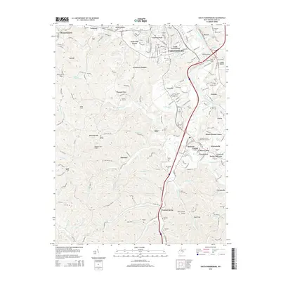
2014 Map of South Parkersburg
USGS Topo · Published 2014About this map
Parkersburg and its southern suburbs sit at the confluence of the Kanawha River North and the Little Kanawha River, where the Baltimore & Ohio RR corridors once defined the local industrial geography. The map reveals a transition from the urban density of South Parkersburg and Crestview Park into a series of residential developments like Southmoor Heights, Bickel Estates, and Society Hill Acres. This 2014 survey documents the modern suburban sprawl into the Wood County hills, yet it retains a high density of family and community landmarks, such as the Sunset Memory Gardens and the W Virginia Univ at Parkersburg campus.
Find a feature on this map
209 named features on this map. Tap any name to fly to it.
Don’t see what you’re looking for? This feature index may not catch every label — zoom into the map to look around manually.
Map Details
Editions of this 2014 South Parkersburg Map
This is the sole edition of this map. No revisions or reprints were ever made.
Other maps of this area

1902 · Parkersburg
USGS Topo · 1:62,500

1904 · Parkersburg
USGS Topo · 1:62,500

1904 · Marietta
USGS Topo · 1:62,500

1906 · Elizabeth
USGS Topo · 1:62,500

1906 · Belleville
USGS Topo · 1:62,500

1924 · Belleville
USGS Topo · 1:62,500

1924 · Marietta
USGS Topo · 1:62,500

1924 · Elizabeth
USGS Topo · 1:62,500

1926 · Elizabeth
USGS Topo · 1:62,500

1926 · Belleville
USGS Topo · 1:62,500