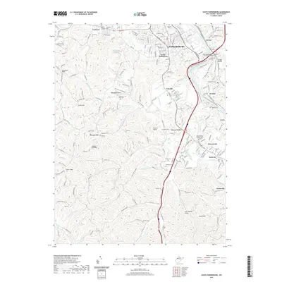
2019 Map of South Parkersburg
USGS Topo · Published 2019About this map
The Little Kanawha River winds through the northern portion of this landscape, serving as a historic corridor for communities like Nicolette and Cedar Grove. This area south of Parkersburg reflects a dense pattern of rural and suburban development, where established settlements like Pettyville and Mineral Wells are connected by a network of county routes and the prominent Interstate 77 corridor. The presence of numerous family and community burial grounds, such as Stephens Cem and Posey Cem, alongside more modern sites like Sunset Memory Gardens, indicates a deep-rooted lineage of local families.
Find a feature on this map
182 named features on this map. Tap any name to fly to it.
Don’t see what you’re looking for? This feature index may not catch every label — zoom into the map to look around manually.
Map Details
Editions of this 2019 South Parkersburg Map
This is the sole edition of this map. No revisions or reprints were ever made.
Other maps of this area

1902 · Parkersburg
USGS Topo · 1:62,500

1904 · Parkersburg
USGS Topo · 1:62,500

1904 · Marietta
USGS Topo · 1:62,500

1906 · Elizabeth
USGS Topo · 1:62,500

1906 · Belleville
USGS Topo · 1:62,500

1924 · Belleville
USGS Topo · 1:62,500

1924 · Marietta
USGS Topo · 1:62,500

1924 · Elizabeth
USGS Topo · 1:62,500

1926 · Elizabeth
USGS Topo · 1:62,500

1926 · Belleville
USGS Topo · 1:62,500