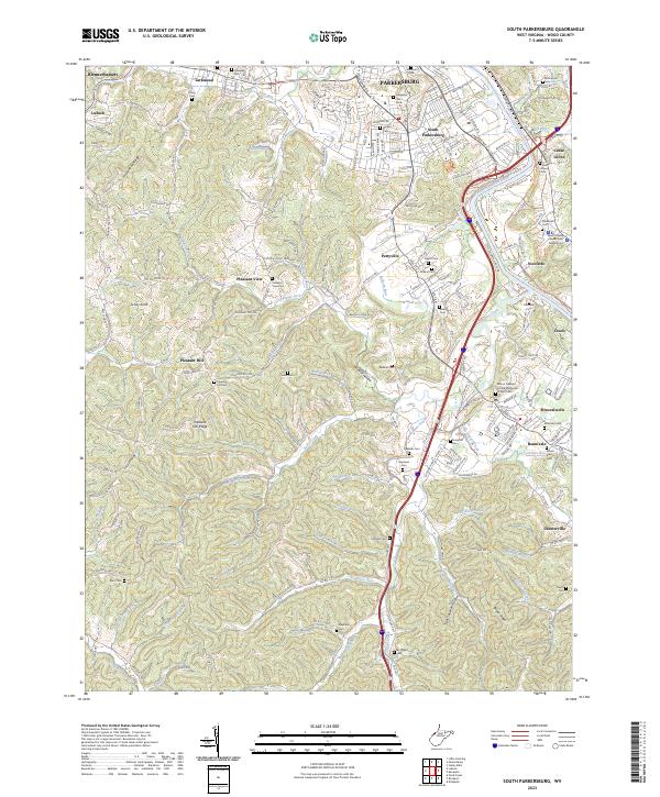
2023 Map of South Parkersburg
USGS Topo · Published 2023About this map
The Little Kanawha River carves a winding path through this region of Wood County, meeting the Ohio River just north of Blennerhassett. This landscape is defined by its numerous family-named cemeteries and rural settlements that ring the outskirts of Parkersburg, including Pettyville, Mineralwells, and Lubeck. The terrain south of the river is a network of sharp ridges and narrow hollows, such as Wildcat Hollow and Tight Squeeze Hollow, where small watercourses like Tygart Creek and Sams Creek have shaped the local topography.
Find a feature on this map
202 named features on this map. Tap any name to fly to it.
Don’t see what you’re looking for? This feature index may not catch every label — zoom into the map to look around manually.
Map Details
Editions of this 2023 South Parkersburg Map
This is the sole edition of this map. No revisions or reprints were ever made.
Other maps of this area

1902 · Parkersburg
USGS Topo · 1:62,500

1904 · Parkersburg
USGS Topo · 1:62,500

1904 · Marietta
USGS Topo · 1:62,500

1906 · Elizabeth
USGS Topo · 1:62,500

1906 · Belleville
USGS Topo · 1:62,500

1924 · Belleville
USGS Topo · 1:62,500

1924 · Marietta
USGS Topo · 1:62,500

1924 · Elizabeth
USGS Topo · 1:62,500

1926 · Elizabeth
USGS Topo · 1:62,500

1926 · Belleville
USGS Topo · 1:62,500