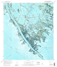
1971 Map of South Pass
USGS Topo · Published 1974About this map
Port Eads stands at the tip of the Mississippi River delta, marking a critical transition between the river's South Pass and the open waters of the Gulf of Mexico. This 1971 orthophotomap reveals the intensive industrialization of the marshlands, where an extensive Oil and Gas Field and the Block 27 Oil Field are integrated into the fragile coastal ecosystem. A network of steam pipes, gas wells, and a large Fresh Water Reservoir enclosed by a Levee demonstrate the infrastructure required for extraction in this aquatic environment.
Find a feature on this map
43 named features on this map. Tap any name to fly to it.
Don’t see what you’re looking for? This feature index may not catch every label — zoom into the map to look around manually.
Map Details
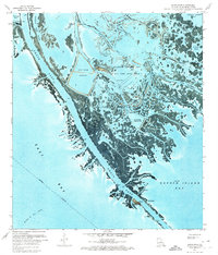
Editions of this 1971 South Pass Map
2 editions found
Other maps of this area

1893 · East Delta
USGS Topo · 1:62,500

1893 · West Delta
USGS Topo · 1:62,500

1935 · Garden Island Pass
USGS Topo · 1:31,680

1935 · South Pass
USGS Topo · 1:31,680

1946 · Mudpan Bayou
USGS Topo · 1:31,680

1947 · Garden Island Pass
USGS Topo · 1:31,680

1947 · Pass A Loutre West
USGS Topo · 1:31,680

1947 · Southwest Pass
USGS Topo · 1:31,680

1947 · Pass A Loutre East
USGS Topo · 1:31,680

1949 · Cubits Gap
USGS Topo · 1:31,680