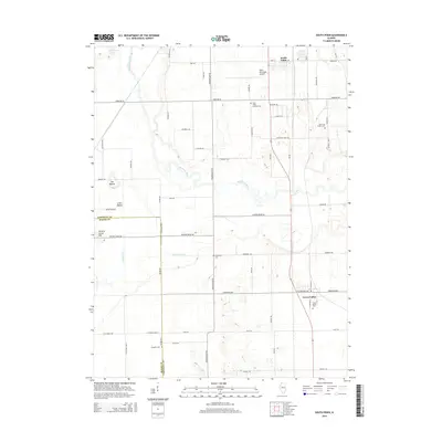
2015 Map of South Pekin
USGS Topo · Published 2015About this map
The Mackinaw River winds through the central portion of this Tazewell County landscape, creating a complex corridor of oxbows and alluvial terrain that contrasts with the surrounding agricultural grid. The settlement of South Pekin anchors the northern edge near the Pekin Municipal Airport, while Green Valley sits to the southeast. Genealogists will find several burial grounds across the area, including Saint John's Lutheran Cem, Old Sand Prairie Cem, and the remote Langston Cem. Natural landmarks like The Mound and Little Mound rise above the flatlands, while a network of drainage systems, such as Breedlove Ditch and Meeker Ditch, manages the water levels of the surrounding prairies. This survey captures the intersection of traditional farming routes and early 21st-century infrastructure near the Tazewell and Mason County border.
Find a feature on this map
64 named features on this map. Tap any name to fly to it.
Don’t see what you’re looking for? This feature index may not catch every label — zoom into the map to look around manually.
Map Details
Editions of this 2015 South Pekin Map
This is the sole edition of this map. No revisions or reprints were ever made.
Other maps of this area

1905 · Peoria
USGS Topo · 1:62,500

1927 · Peoria
USGS Topo · 1:62,500

1929 · Manito
USGS Topo · 1:62,500

1930 · Glasford
USGS Topo · 1:62,500

1932 · Manito
USGS Topo · 1:62,500

1942 · Delavan
USGS Topo · 1:62,500

1948 · Glasford
USGS Topo · 1:62,500

1958 · Peoria
USGS Topo · 1:250,000

1960 · Marquette Heights
USGS Topo · 1:24,000

1960 · Pekin
USGS Topo · 1:24,000