
1960 Map of Marquette Heights
USGS Topo · Published 1961About this map
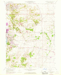
The suburban development of Marquette Heights and the northern outskirts of Pekin contrast with the agrarian townships of Groveland and Elm Grove in this 1960 survey. The landscape is deeply carved by Lick Creek and Dillon Creek, where small-scale recreation sites like Camp Soldwedel and Lake Wahelo are established. A network of rural institutions is visible across the townships, including the Brush Hill Sch and several country congregations such as Bethel Ch and Oak Grove Ch.
Find a feature on this map
39 named features on this map. Tap any name to fly to it.
Don’t see what you’re looking for? This feature index may not catch every label — zoom into the map to look around manually.
Map Details
Editions of this 1960 Marquette Heights Map
3 editions found
Other maps of this area

1905 · Peoria
USGS Topo · 1:62,500

1927 · Peoria
USGS Topo · 1:62,500

1928 · Mackinaw
USGS Topo · 1:62,500

1932 · Mackinaw
USGS Topo · 1:62,500

1942 · Delavan
USGS Topo · 1:62,500

1949 · Peoria East
USGS Topo · 1:24,000

1949 · Peoria West
USGS Topo · 1:24,000

1950 · Peoria West
USGS Topo · 1:24,000
1950 · Peoria East
USGS Topo · 1:24,000

1951 · Minier
USGS Topo · 1:62,500