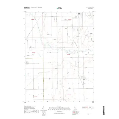
2018 Map of South Pekin
USGS Topo · Published 2018About this map
The Mackinaw River winds through the heart of this Tazewell County landscape, creating a complex hydrologic network of wetlands and drainage features like Breedlove Ditch and Meeker Ditch. This 2018 survey shows the developed centers of South Pekin and Green Valley, while much of the surrounding area remains defined by large-scale agricultural tracts and an extensive grid of county roads. Geologic anomalies break the prairie floor, including The Mound, Little Mound, and Hickory Grove Hill. For those researching family history, the map identifies several distinct burial sites across the township lines, such as Saint John's Lutheran Cem, Old Sand Prairie Cem, and the Langston Cem located near the boundary with Mason Co. The northern portion of the quadrangle is notably occupied by the Pekin Municipal Airport, illustrating the modern infrastructure that overlays this traditional Illinois river valley environment.
Find a feature on this map
78 named features on this map. Tap any name to fly to it.
Don’t see what you’re looking for? This feature index may not catch every label — zoom into the map to look around manually.
Map Details
Editions of this 2018 South Pekin Map
This is the sole edition of this map. No revisions or reprints were ever made.
Other maps of this area

1905 · Peoria
USGS Topo · 1:62,500

1927 · Peoria
USGS Topo · 1:62,500

1929 · Manito
USGS Topo · 1:62,500

1930 · Glasford
USGS Topo · 1:62,500

1932 · Manito
USGS Topo · 1:62,500

1942 · Delavan
USGS Topo · 1:62,500

1948 · Glasford
USGS Topo · 1:62,500

1958 · Peoria
USGS Topo · 1:250,000

1960 · Marquette Heights
USGS Topo · 1:24,000

1960 · Pekin
USGS Topo · 1:24,000