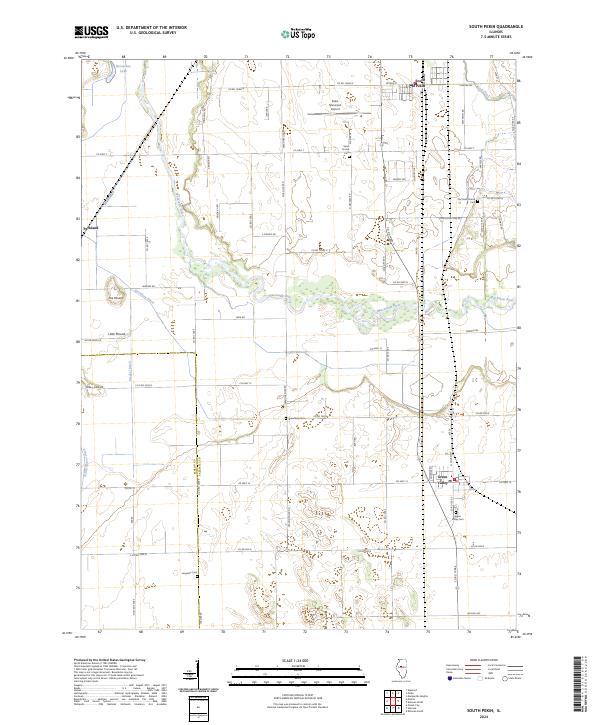
2024 Map of South Pekin
USGS Topo · Published 2024About this map
The Mackinaw River winds through the central portion of this Tazewell County landscape, creating a riparian corridor that separates the northern agricultural plains from the southern reaches. In the northern section, South Pekin sits near the Pekin Municipal Airport and Sand Prairie Cem, while the southern end of the map is anchored by the village of Green Valley. The region is defined by a dense network of water management features, including Breedlove Ditch, Meeker Ditch, and North Quiver Ditch, which drain the low-lying terrain surrounding notable elevations like The Mound and Hickory Grove Hill. Genealogists will find several burial sites scattered throughout the rural townships, from the Old Sand Prairie Cem in the northeast to the isolated Langston Cem in the southwest, reflecting the early settlement patterns of this Illinois river valley.
Find a feature on this map
71 named features on this map. Tap any name to fly to it.
Don’t see what you’re looking for? This feature index may not catch every label — zoom into the map to look around manually.
Map Details
Editions of this 2024 South Pekin Map
This is the sole edition of this map. No revisions or reprints were ever made.
Other maps of this area

1905 · Peoria
USGS Topo · 1:62,500

1927 · Peoria
USGS Topo · 1:62,500

1929 · Manito
USGS Topo · 1:62,500

1930 · Glasford
USGS Topo · 1:62,500

1932 · Manito
USGS Topo · 1:62,500

1942 · Delavan
USGS Topo · 1:62,500

1948 · Glasford
USGS Topo · 1:62,500

1958 · Peoria
USGS Topo · 1:250,000

1960 · Marquette Heights
USGS Topo · 1:24,000

1960 · Pekin
USGS Topo · 1:24,000