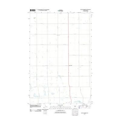
2011 Map of South Prairie
USGS Topo · Published 2011About this map
South Prairie stands as a focal point in this portion of Ward County, situated along a primary north-south corridor amidst a landscape defined by its agricultural grid and scattered prairie potholes. The terrain is structured by a network of rural routes such as 107th Ave SW and 27th St SE, which facilitate access to the vast farming tracts of the region. Local history and genealogy are anchored by Saron Cemetery, a central landmark for documenting the families who settled this area of the High Plains. To the north, the Schofield Dam regulates local water, while Nelson Lake serves as a notable basin in the southern reaches of the quadrangle. The map illustrates the 21st-century configuration of these rural homesteads and township roads, showing the persistent organization of land that has characterized the North Dakota plains for generations.
Find a feature on this map
26 named features on this map. Tap any name to fly to it.
Don’t see what you’re looking for? This feature index may not catch every label — zoom into the map to look around manually.
Map Details
Editions of this 2011 South Prairie Map
This is the sole edition of this map. No revisions or reprints were ever made.
Other maps of this area

1928 · Minot
USGS Topo · 1:62,500

1929 · Sawyer
USGS Topo · 1:62,500

1929 · Benedict
USGS Topo · 1:62,500

1948 · Minot NW
USGS Topo · 1:24,000

1948 · Surrey
USGS Topo · 1:24,000

1949 · Minot NW
USGS Topo · 1:24,000

1949 · Surrey
USGS Topo · 1:24,000

1949 · Minot
USGS Topo · 1:24,000

1949 · Sawyer
USGS Topo · 1:62,500
1950 · Sawyer SW
USGS Topo · 1:24,000