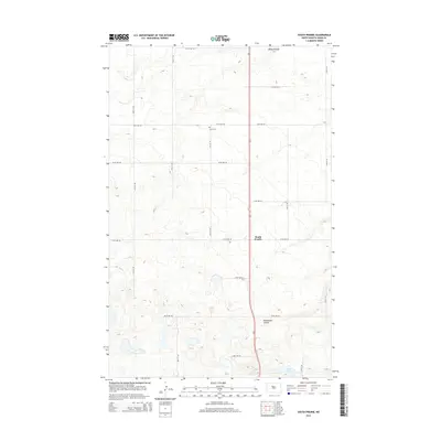
2014 Map of South Prairie
USGS Topo · Published 2014About this map
South Prairie stands at the center of this 2014 survey in Ward County, marking a landscape defined by North Dakota’s characteristic prairie potholes and coulee drainage systems. The terrain is marked by seasonal water features like Kemp Coulee to the north and Blackwater Coulee further south, illustrating the subtle elevation changes that direct local hydrology. For genealogists and local historians, Saron Cem provides a specific point of interest along the section lines north of the primary settlement. The map reveals the rigid grid of the Public Land Survey System, with roads like 107th Ave SW and 27th St SE defining the rural agricultural boundaries. In the southern portion of the quadrangle, Nelson Lake sits among the glacial depressions, showcasing the natural ponding typical of this region's geology.
Find a feature on this map
22 named features on this map. Tap any name to fly to it.
Don’t see what you’re looking for? This feature index may not catch every label — zoom into the map to look around manually.
Map Details
Editions of this 2014 South Prairie Map
This is the sole edition of this map. No revisions or reprints were ever made.
Other maps of this area

1928 · Minot
USGS Topo · 1:62,500

1929 · Sawyer
USGS Topo · 1:62,500

1929 · Benedict
USGS Topo · 1:62,500

1948 · Minot NW
USGS Topo · 1:24,000

1948 · Surrey
USGS Topo · 1:24,000

1949 · Minot NW
USGS Topo · 1:24,000

1949 · Surrey
USGS Topo · 1:24,000

1949 · Minot
USGS Topo · 1:24,000

1949 · Sawyer
USGS Topo · 1:62,500
1950 · Sawyer SW
USGS Topo · 1:24,000