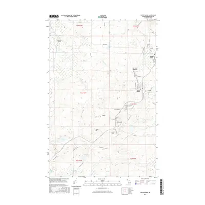
2017 Map of South Range
USGS Topo · Published 2017About this map
The Copper Range of Michigan's Upper Peninsula is meticulously detailed in this 2017 survey, focusing on the string of mining settlements south of Houghton. South Range and Painesdale serve as central nodes for a landscape shaped by industrial heritage, where the Bill Nicholls Route now follows the path of former rail beds through the timber and wetlands. This modern map preserves the nomenclature of the copper boom, identifying the locations of the Atlantic Mine, Champion Mine, and Trimountain.
Find a feature on this map
66 named features on this map. Tap any name to fly to it.
Don’t see what you’re looking for? This feature index may not catch every label — zoom into the map to look around manually.
Map Details
Editions of this 2017 South Range Map
This is the sole edition of this map. No revisions or reprints were ever made.
Other maps of this area

1915 · Houghton
USGS Topo · 1:62,500

1946 · Hancock
USGS Topo · 1:24,000

1946 · Chassell
USGS Topo · 1:24,000

1946 · South Range
USGS Topo · 1:24,000

1948 · South Range
USGS Topo · 1:24,000

1948 · Hancock
USGS Topo · 1:24,000

1948 · Chassell
USGS Topo · 1:24,000

1954 · Graveraet River
USGS Topo · 1:24,000

1954 · Oskar
USGS Topo · 1:24,000

1954 · Beacon Hill
USGS Topo · 1:24,000